
Downloads
Contents
Updated November 2021
History
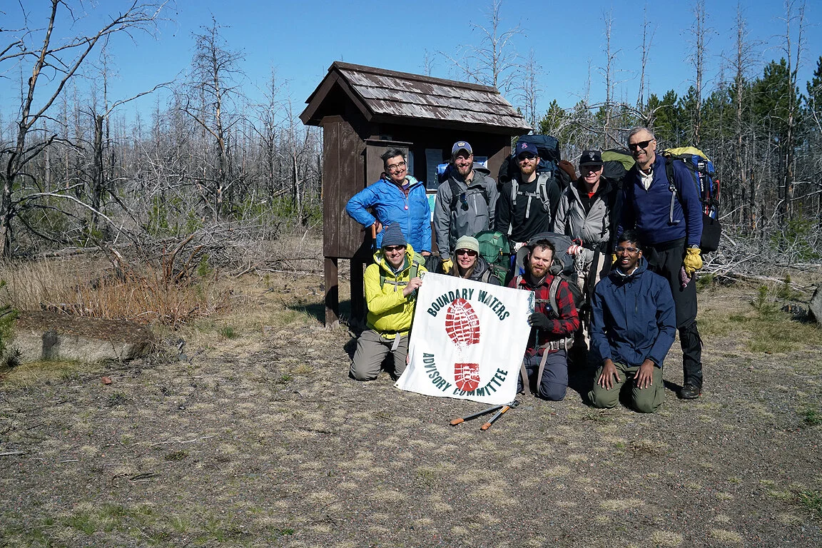
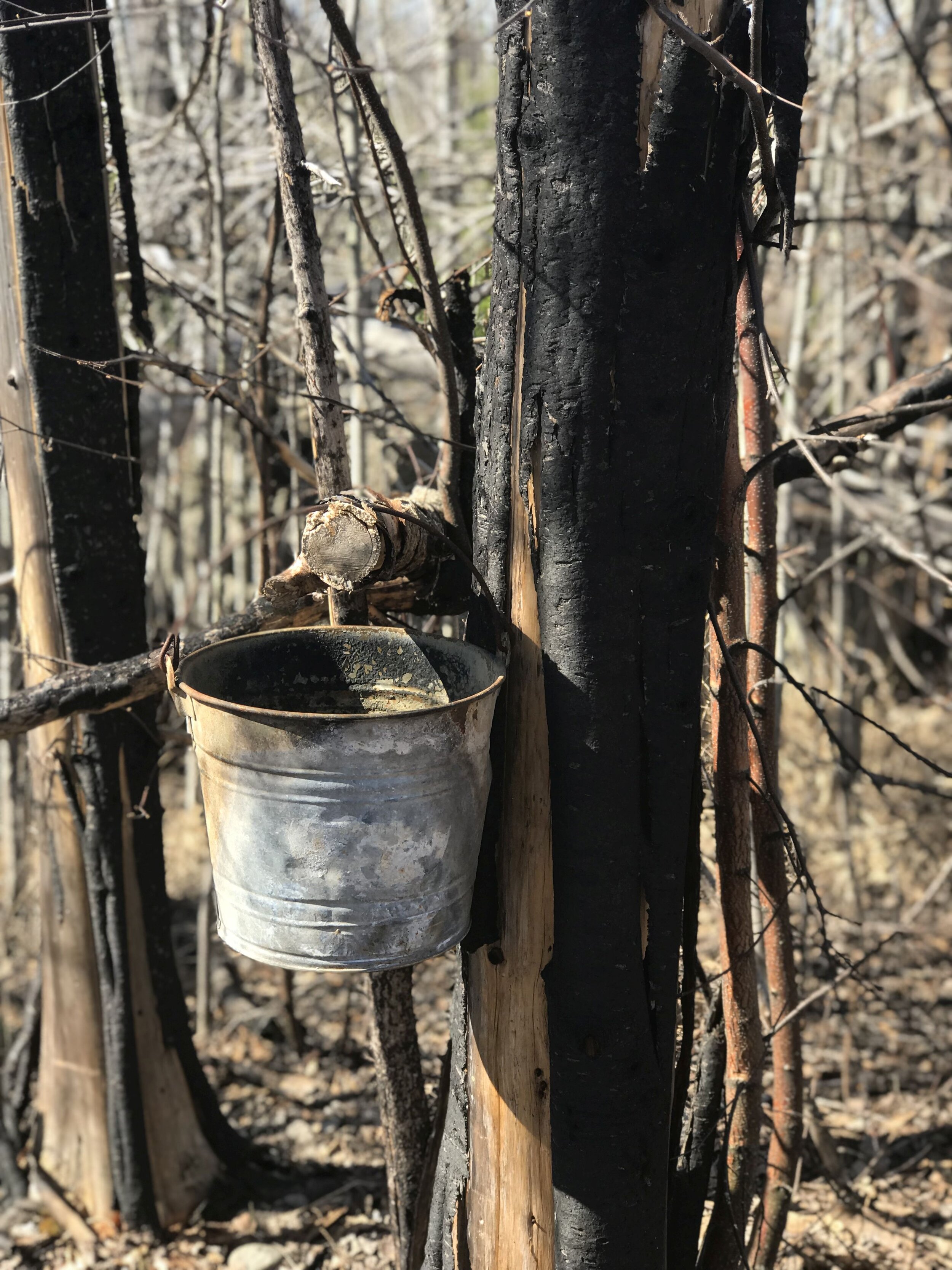
Forest Center near the Powwow Trailhead - Unknown Date
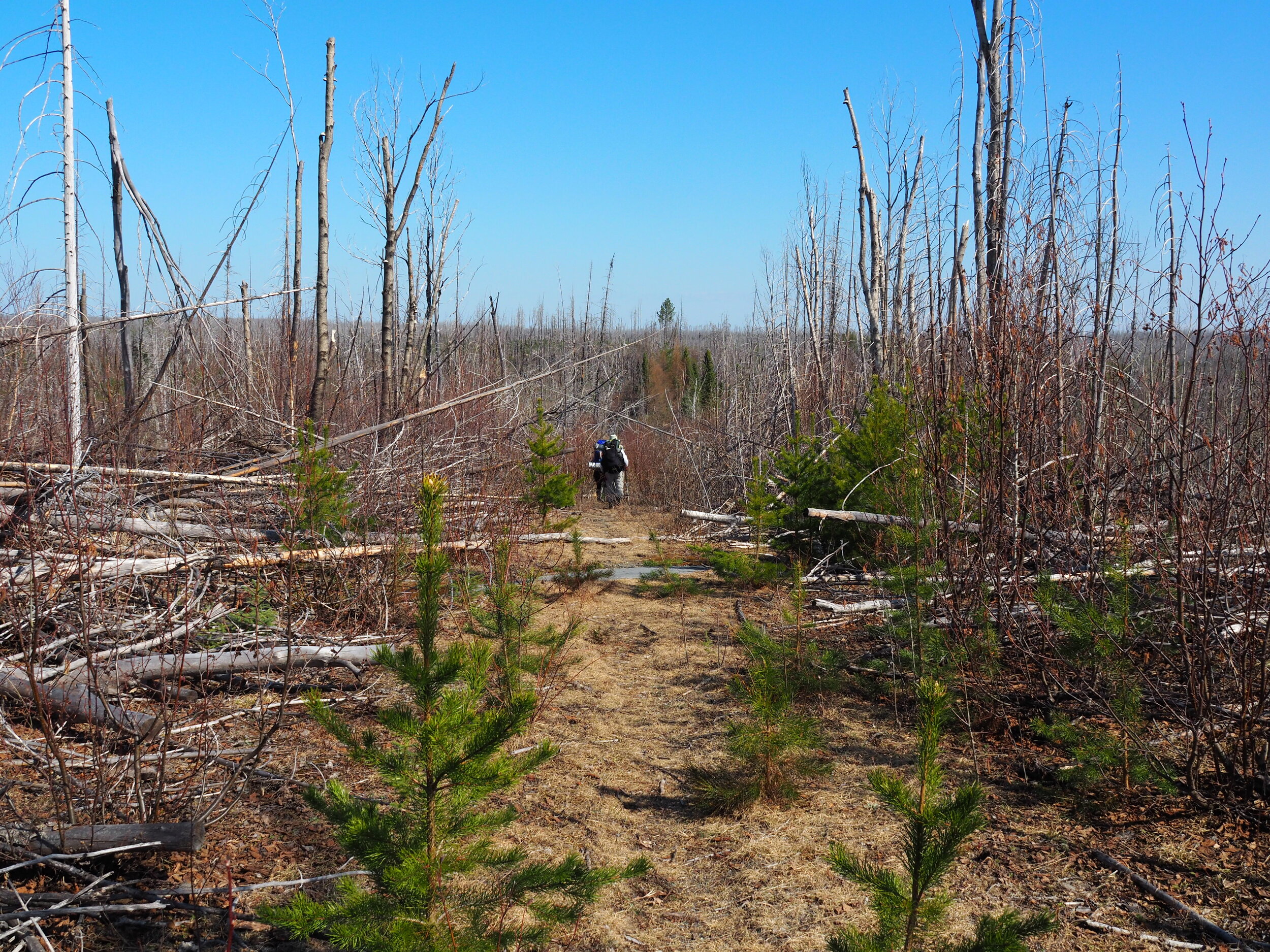
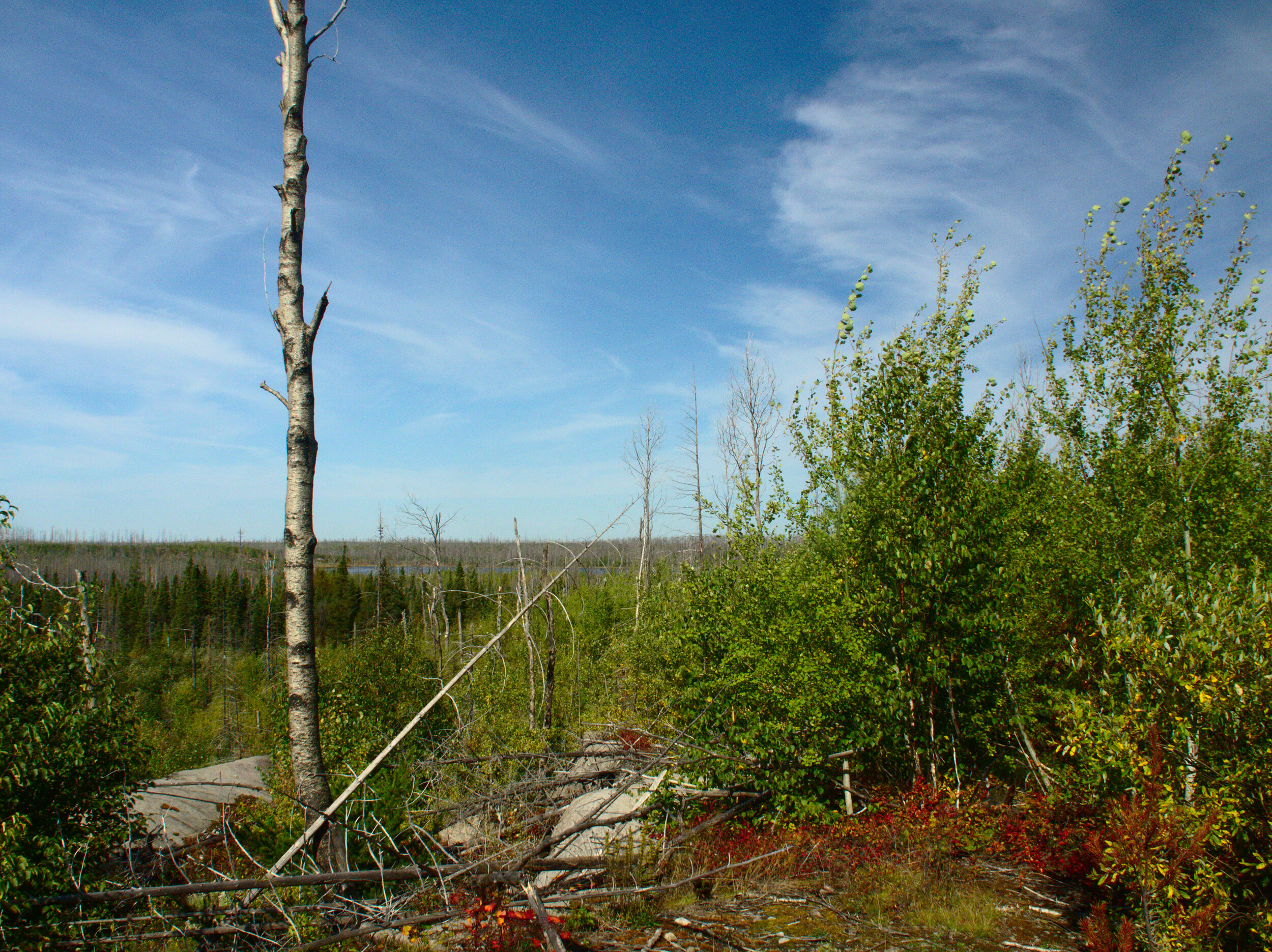
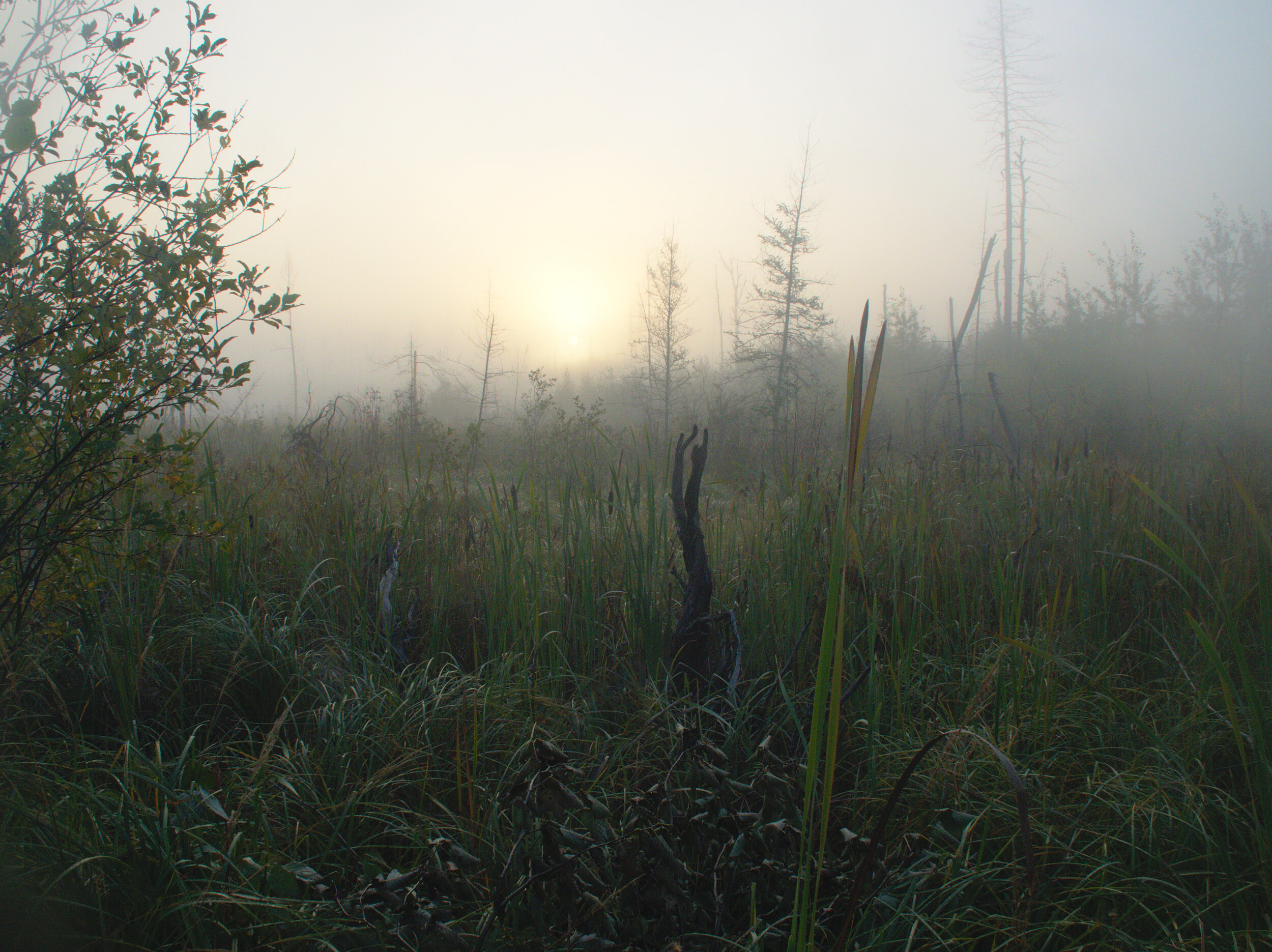
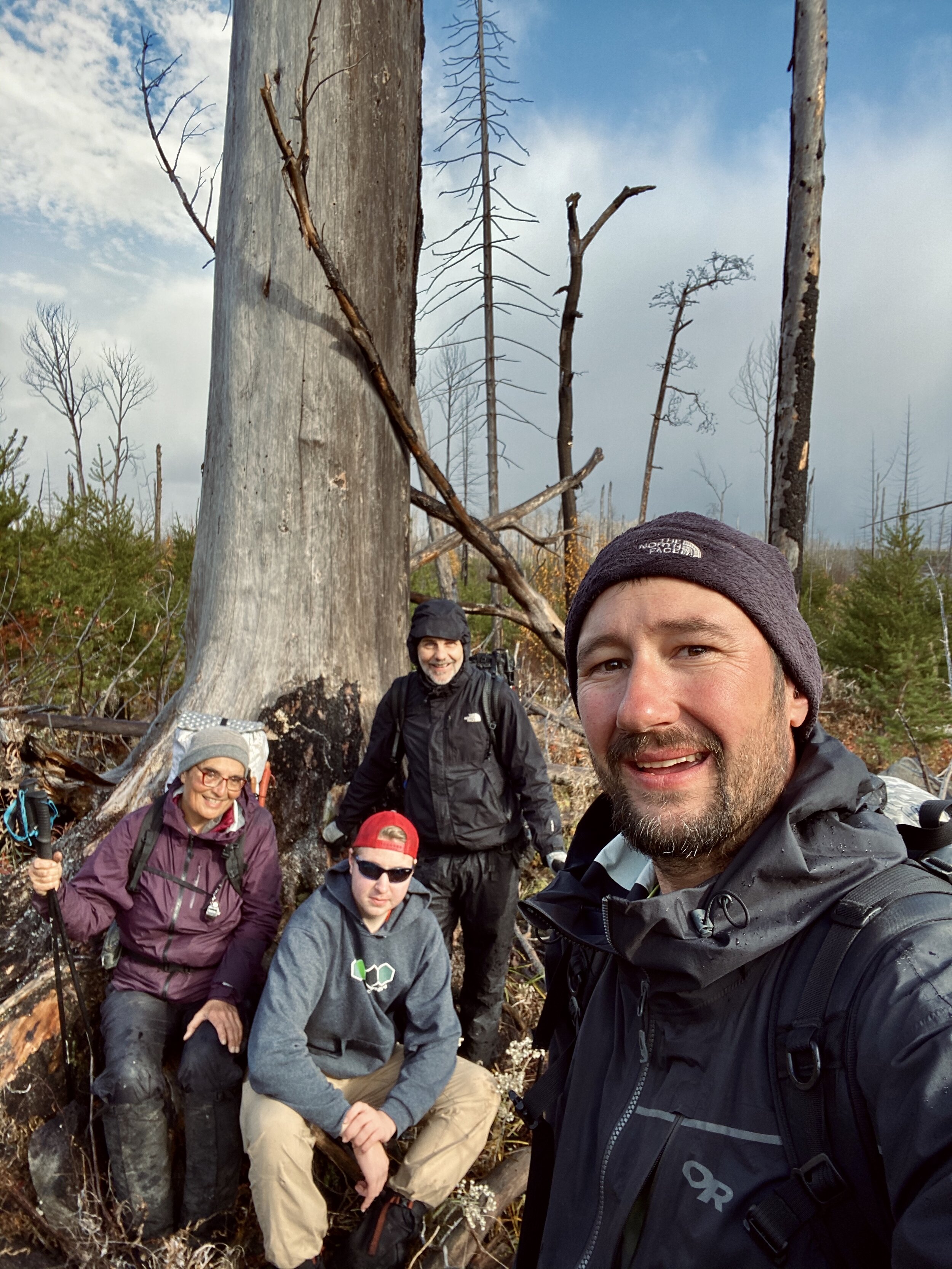
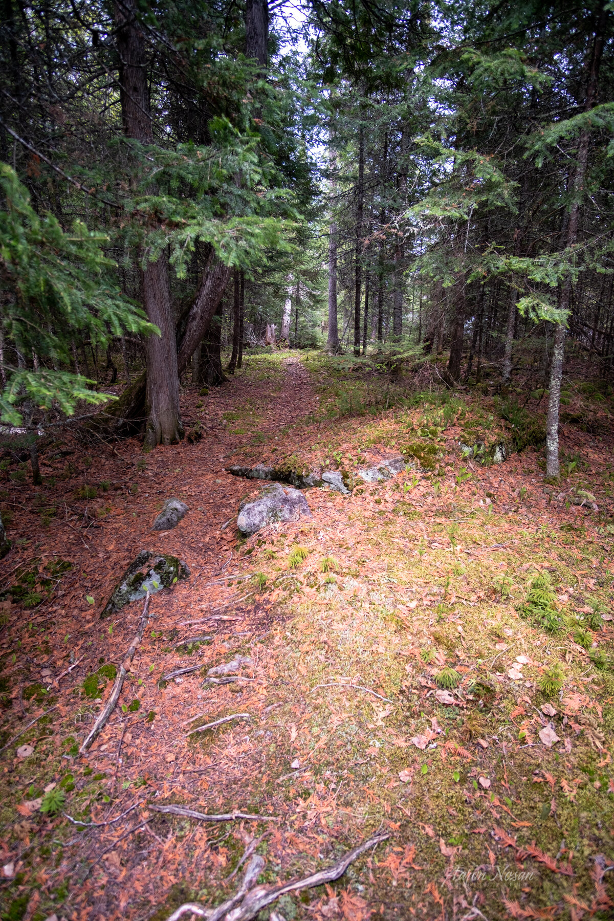
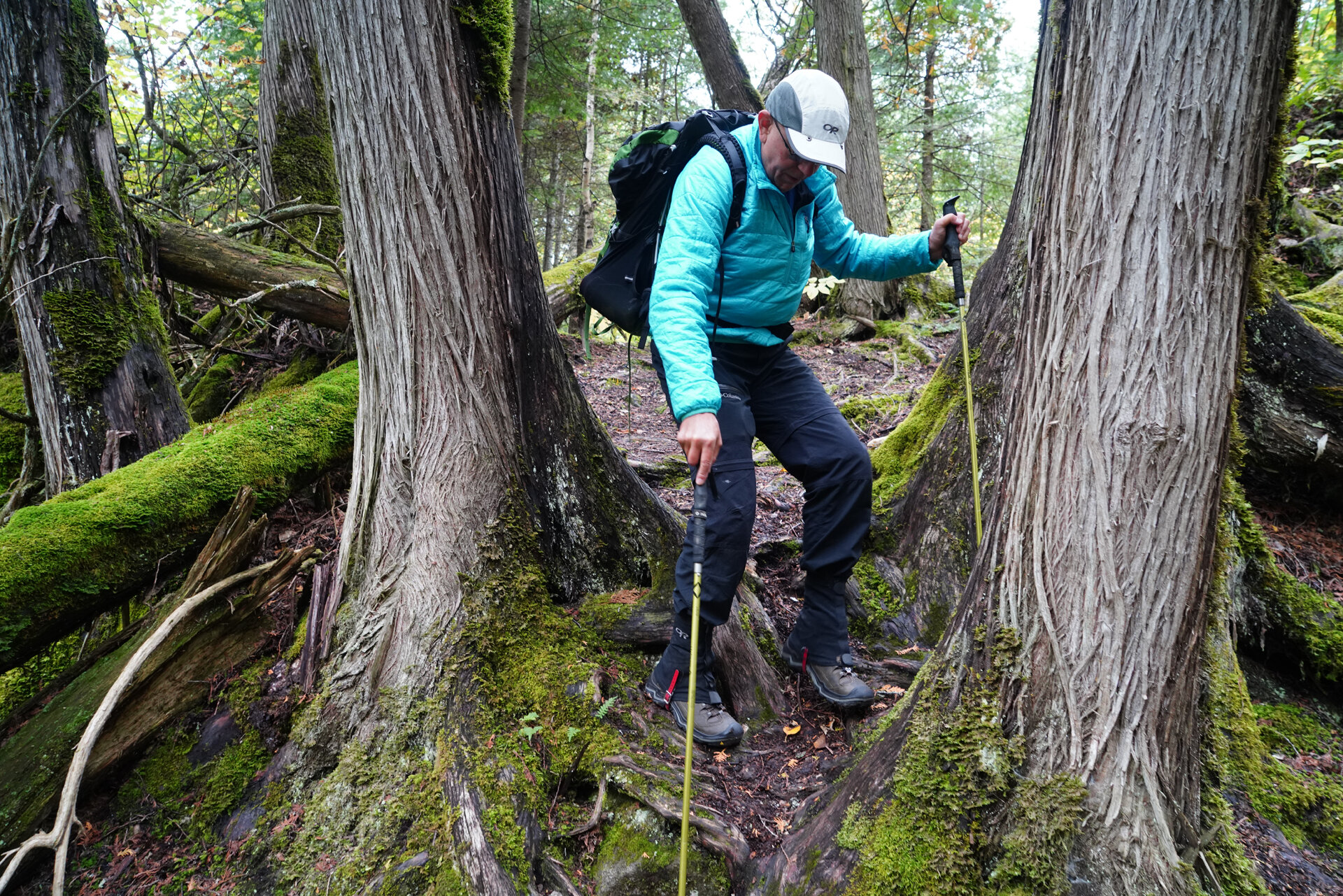
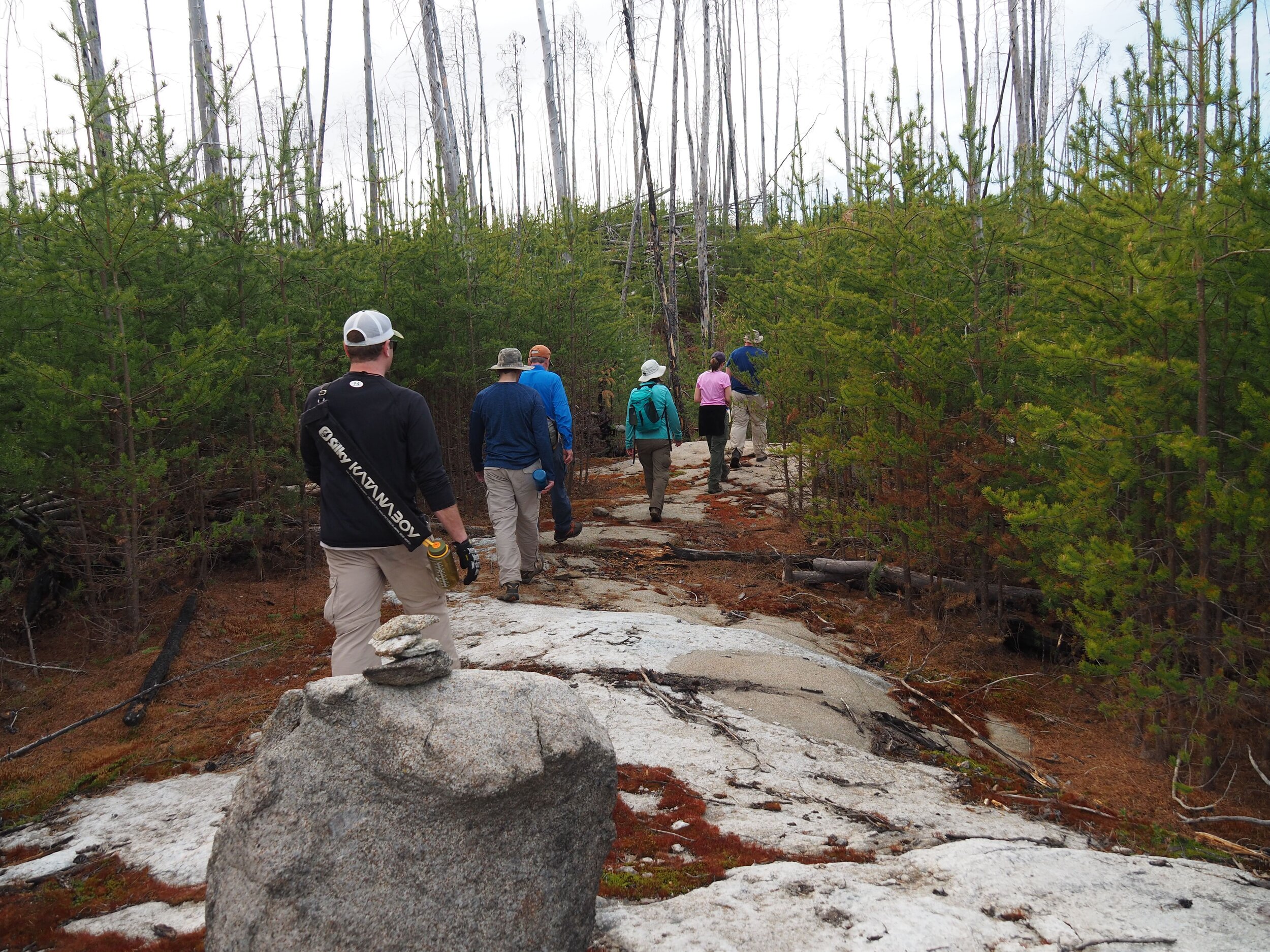
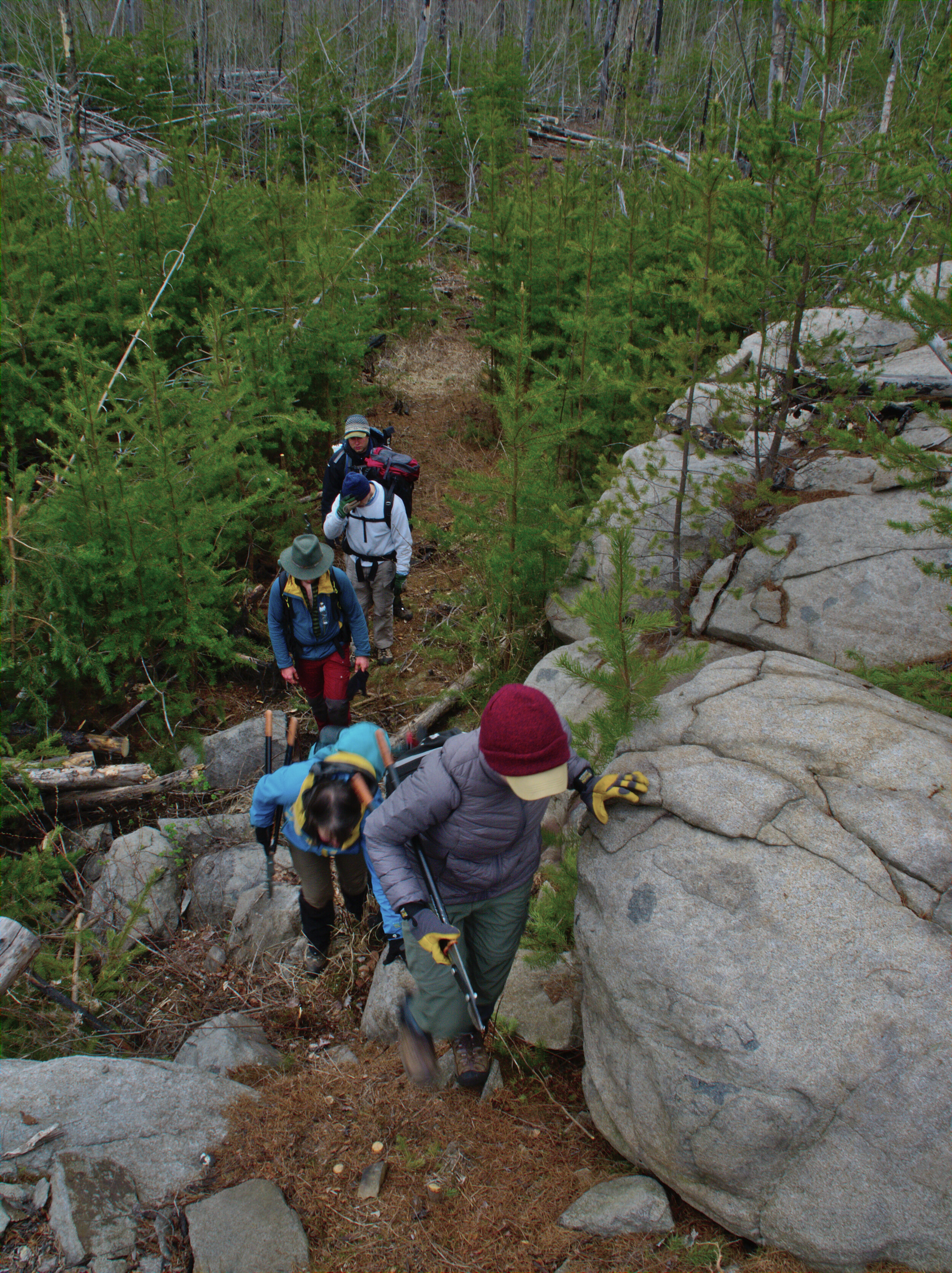
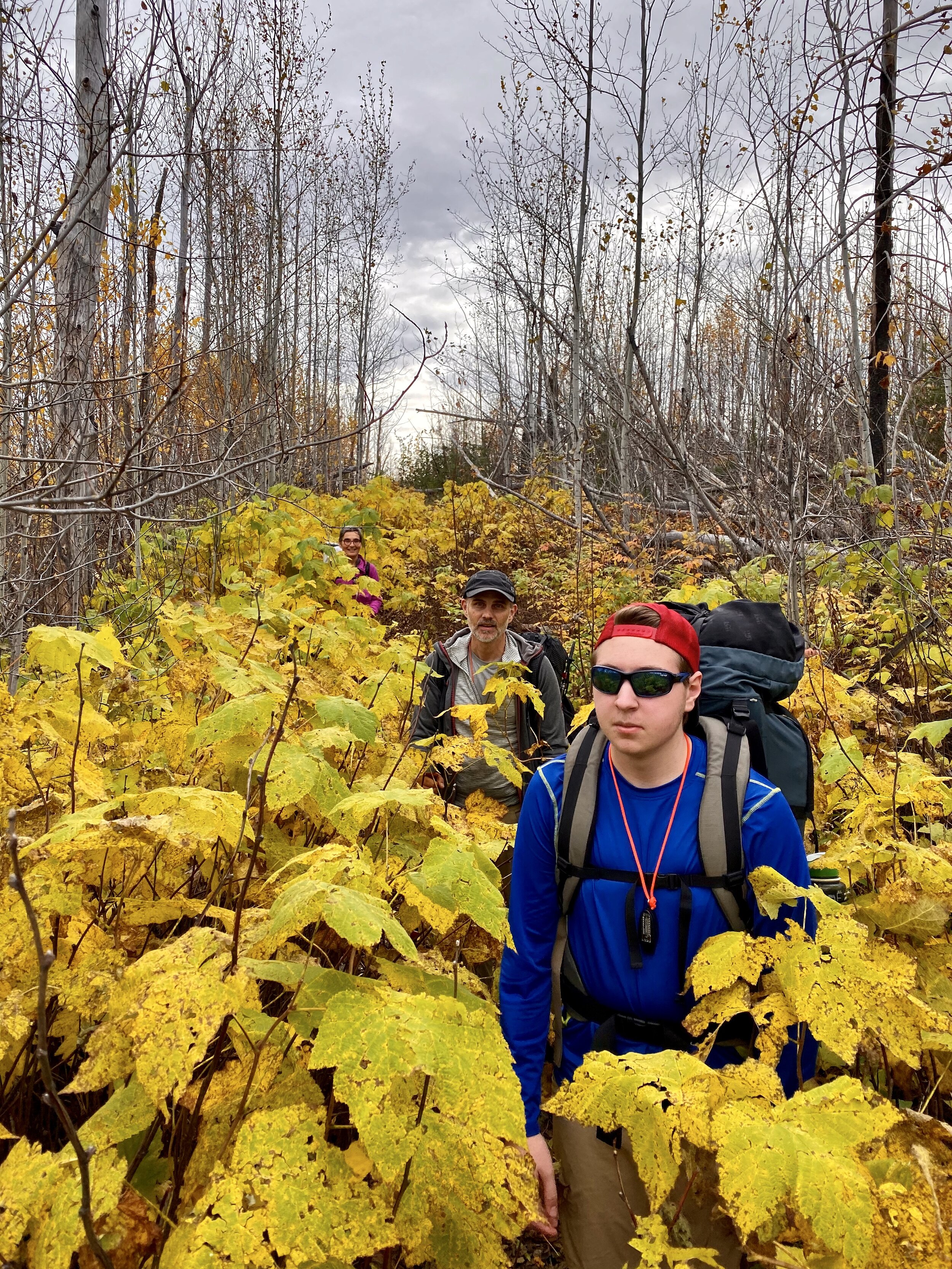
The Powwow Trail, established under the 1978 Act creating the BWCA Wilderness, is a lollipop trail with a 3 mile out-and-back stem leading to a 25 mile loop. Construction of the trail began in 1979, linking former logging roads to wilderness paths. Hiking the Powwow offers a remote wilderness experience, including a rapidly regenerating mixed forest, scenic overlooks, and numerous wetland and beaver dam crossings.
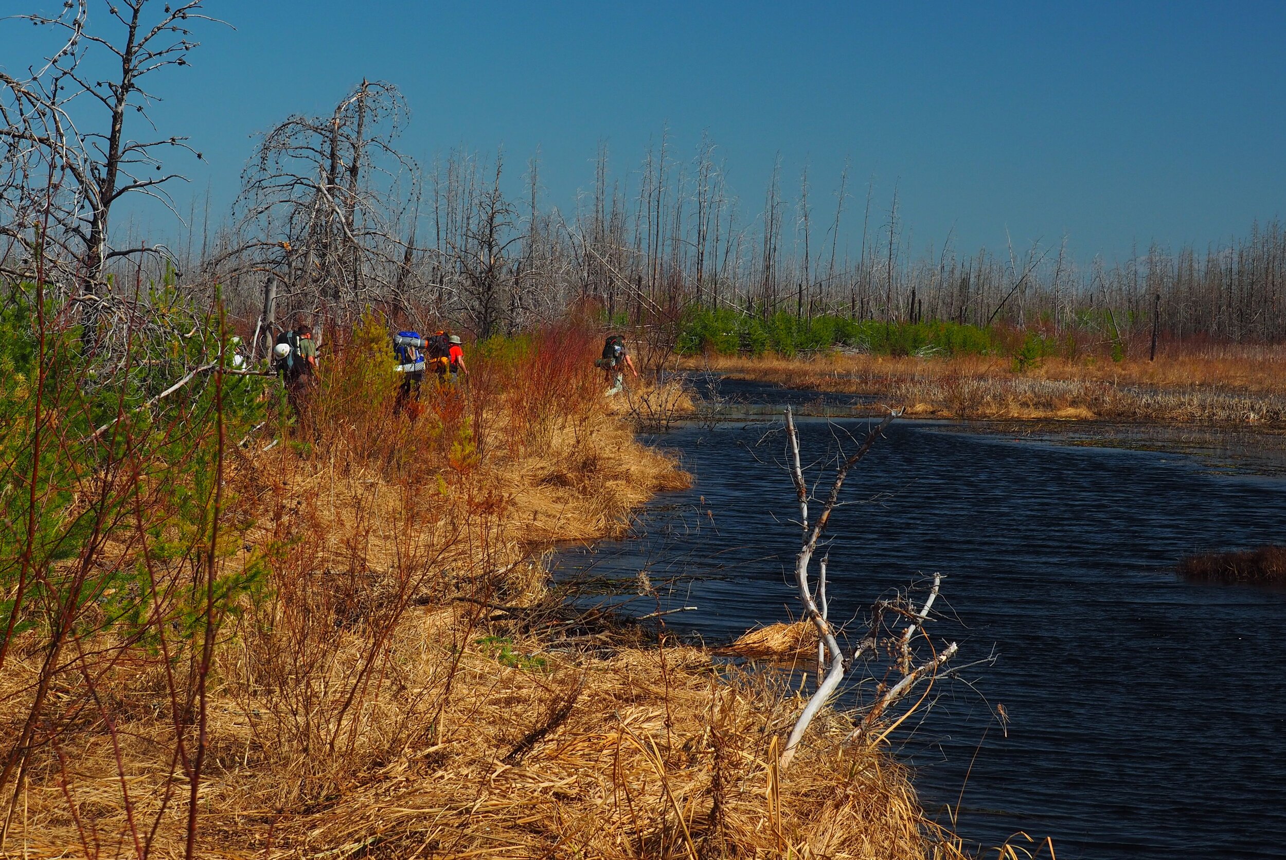
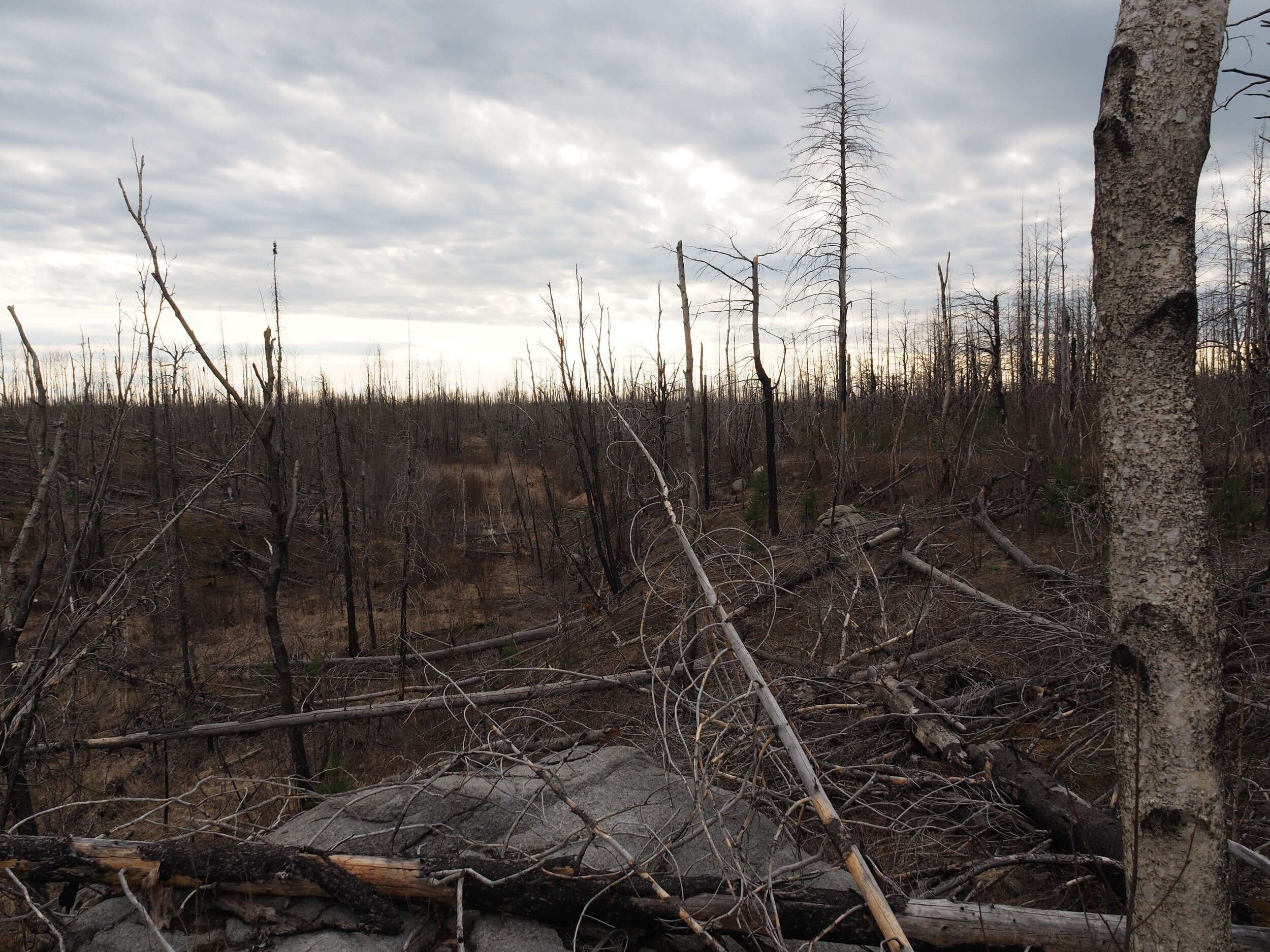
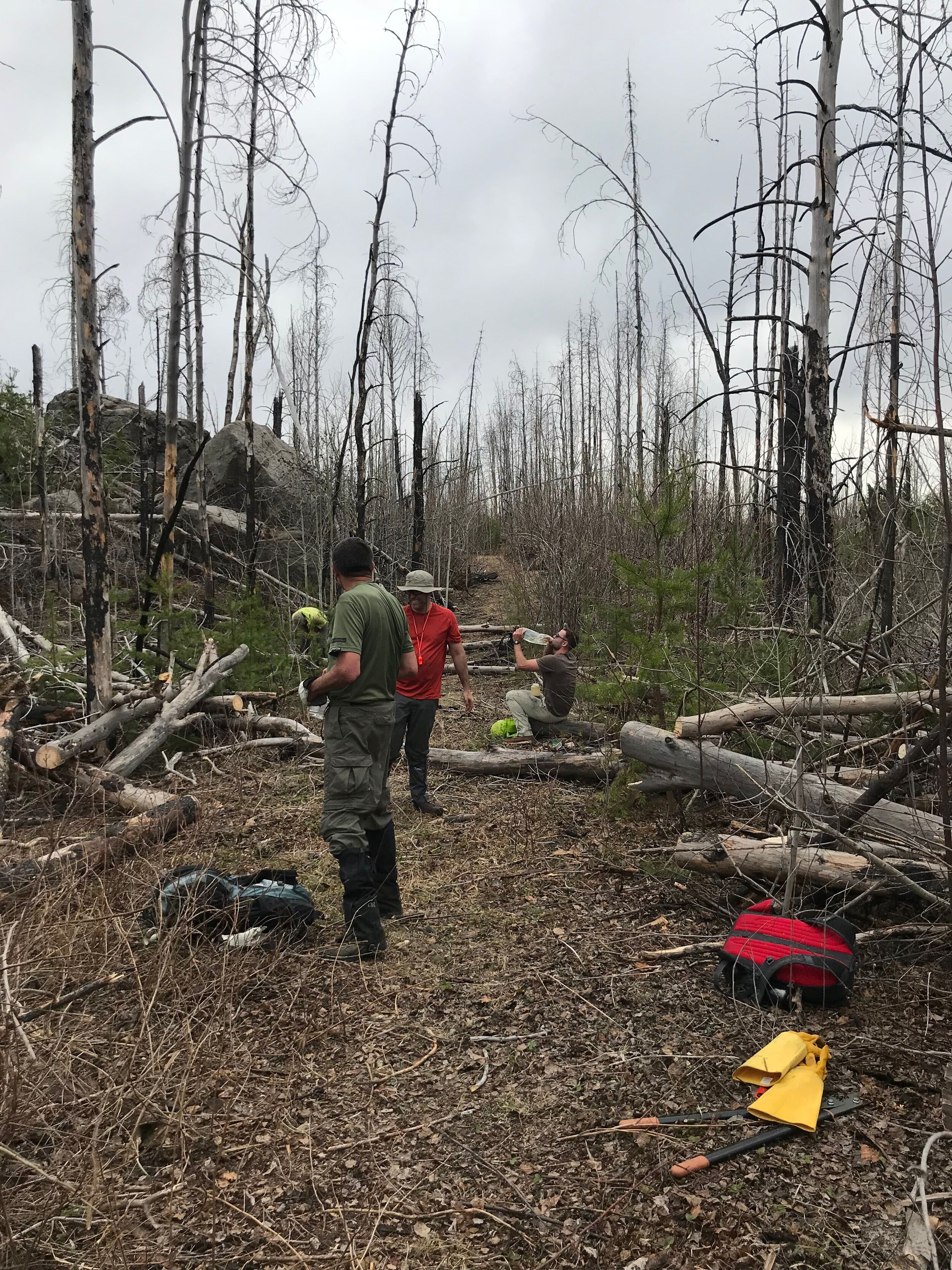
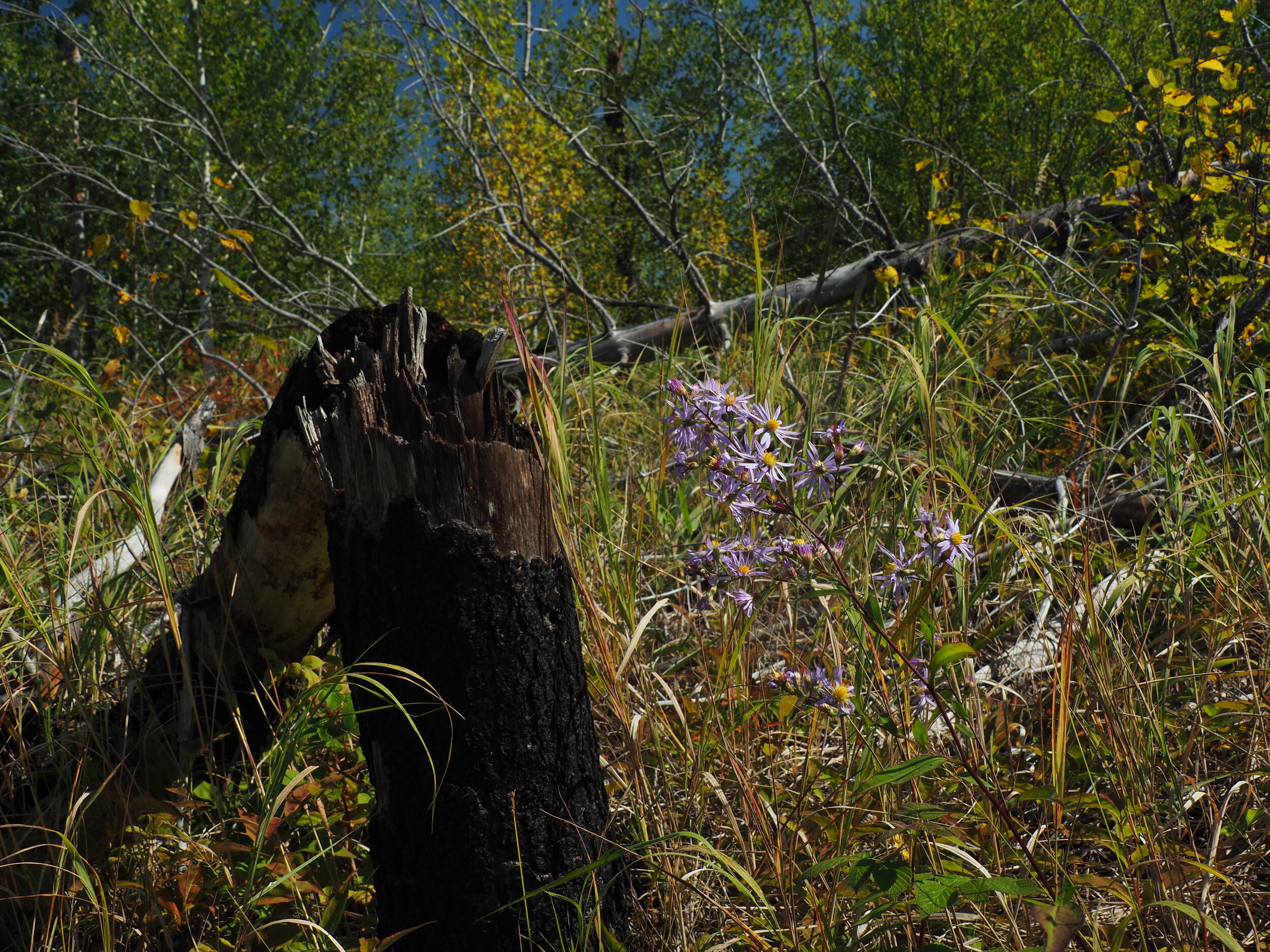
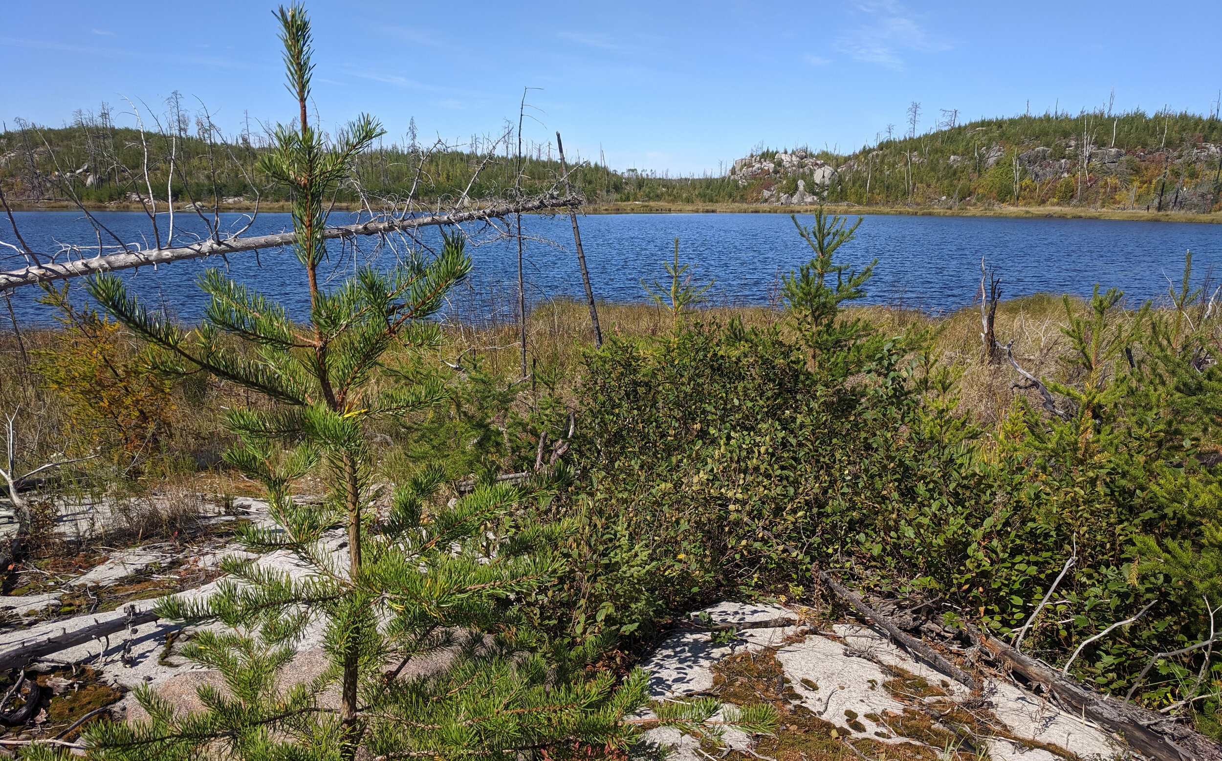
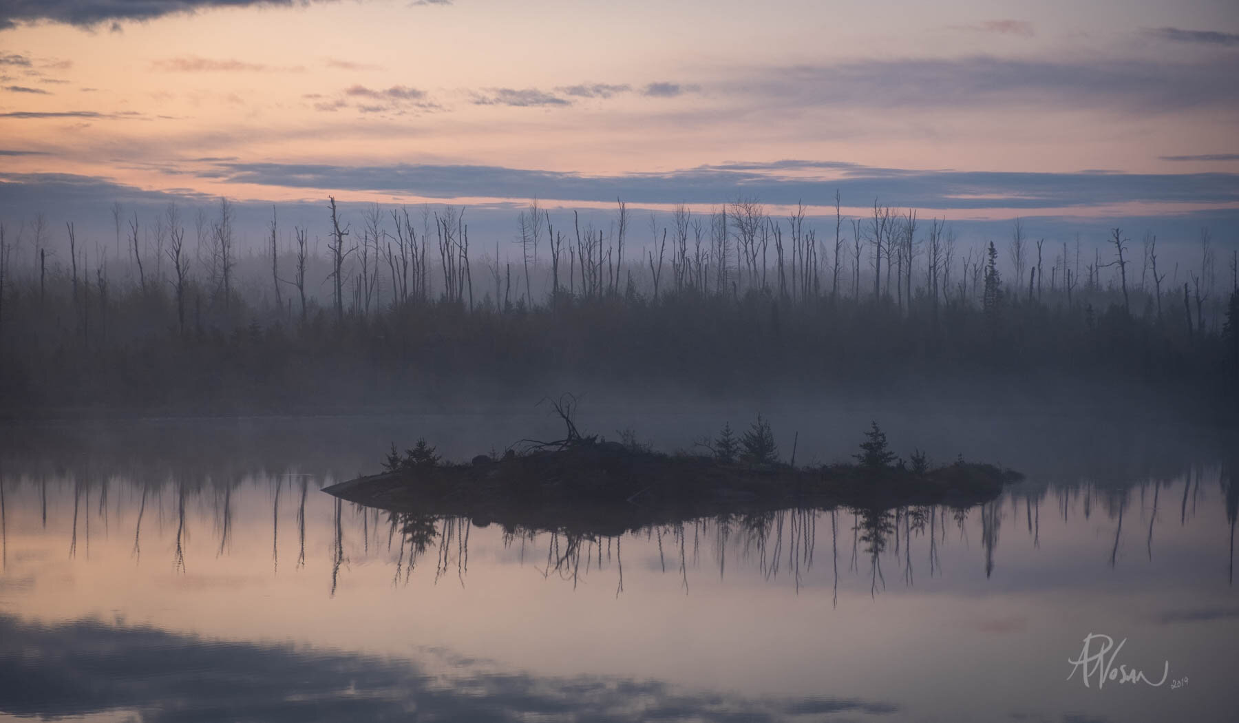
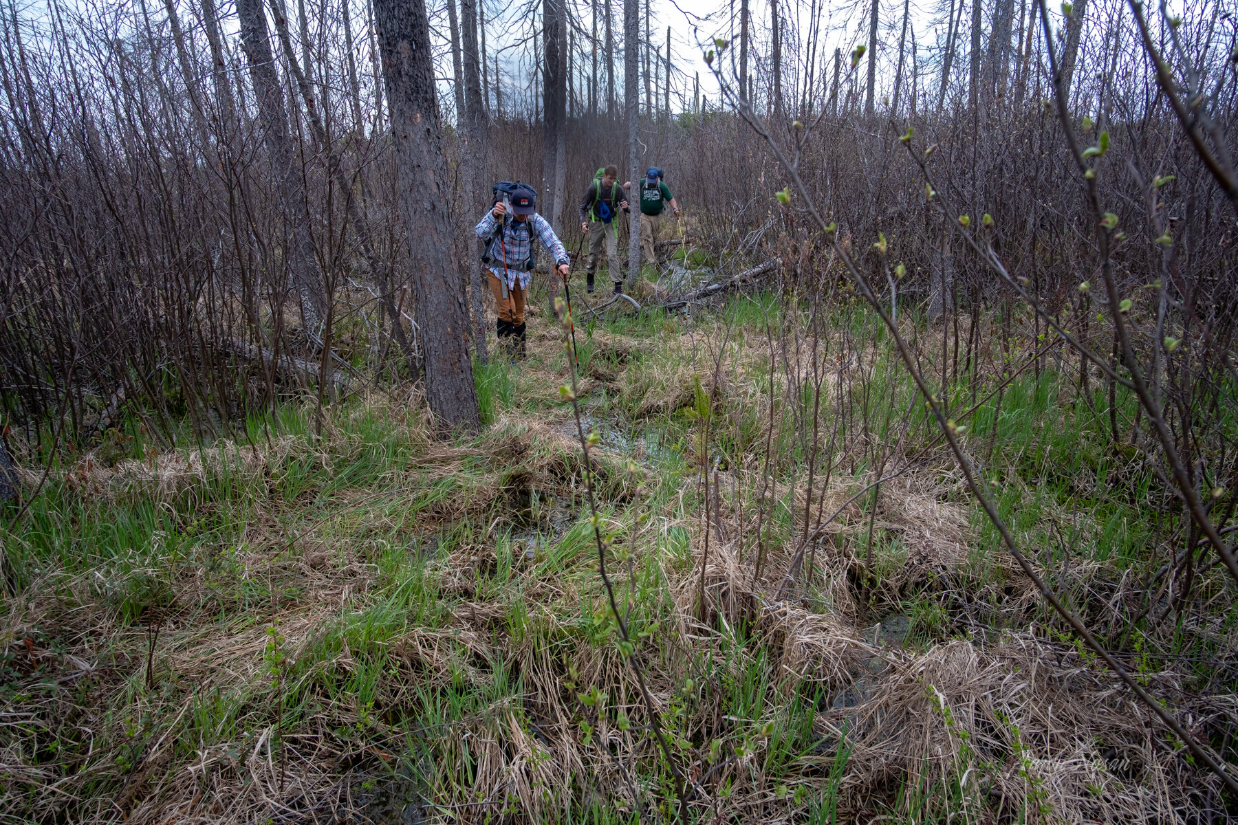
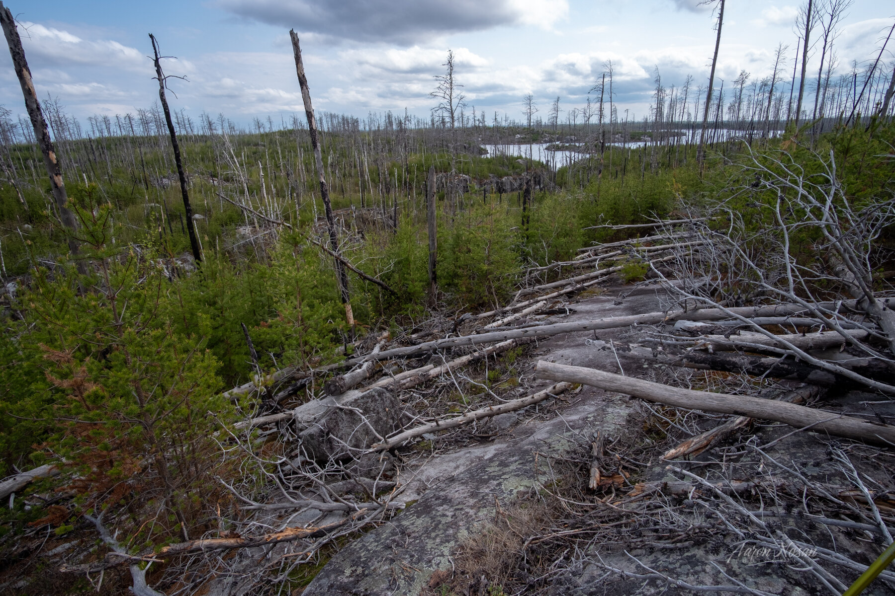
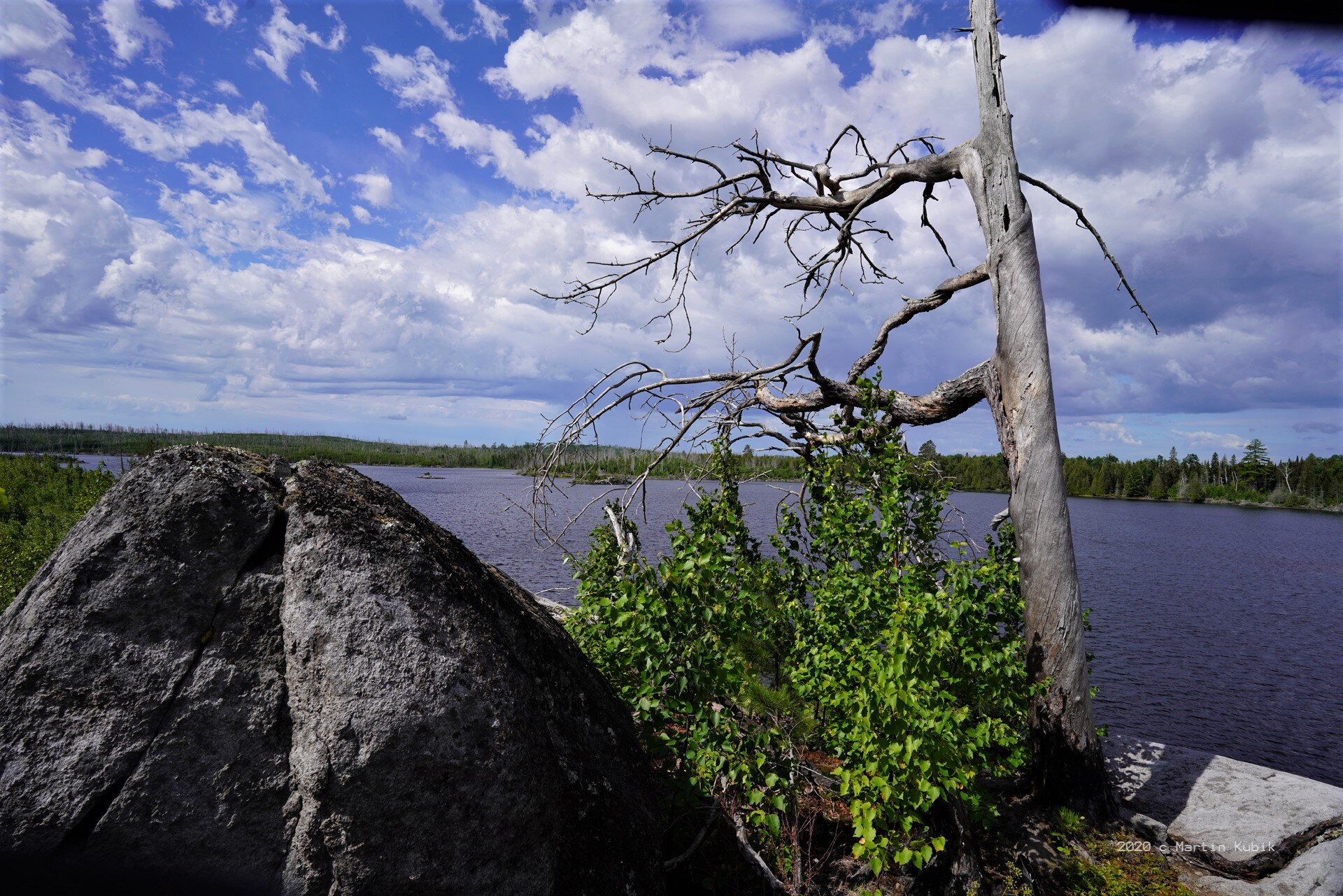
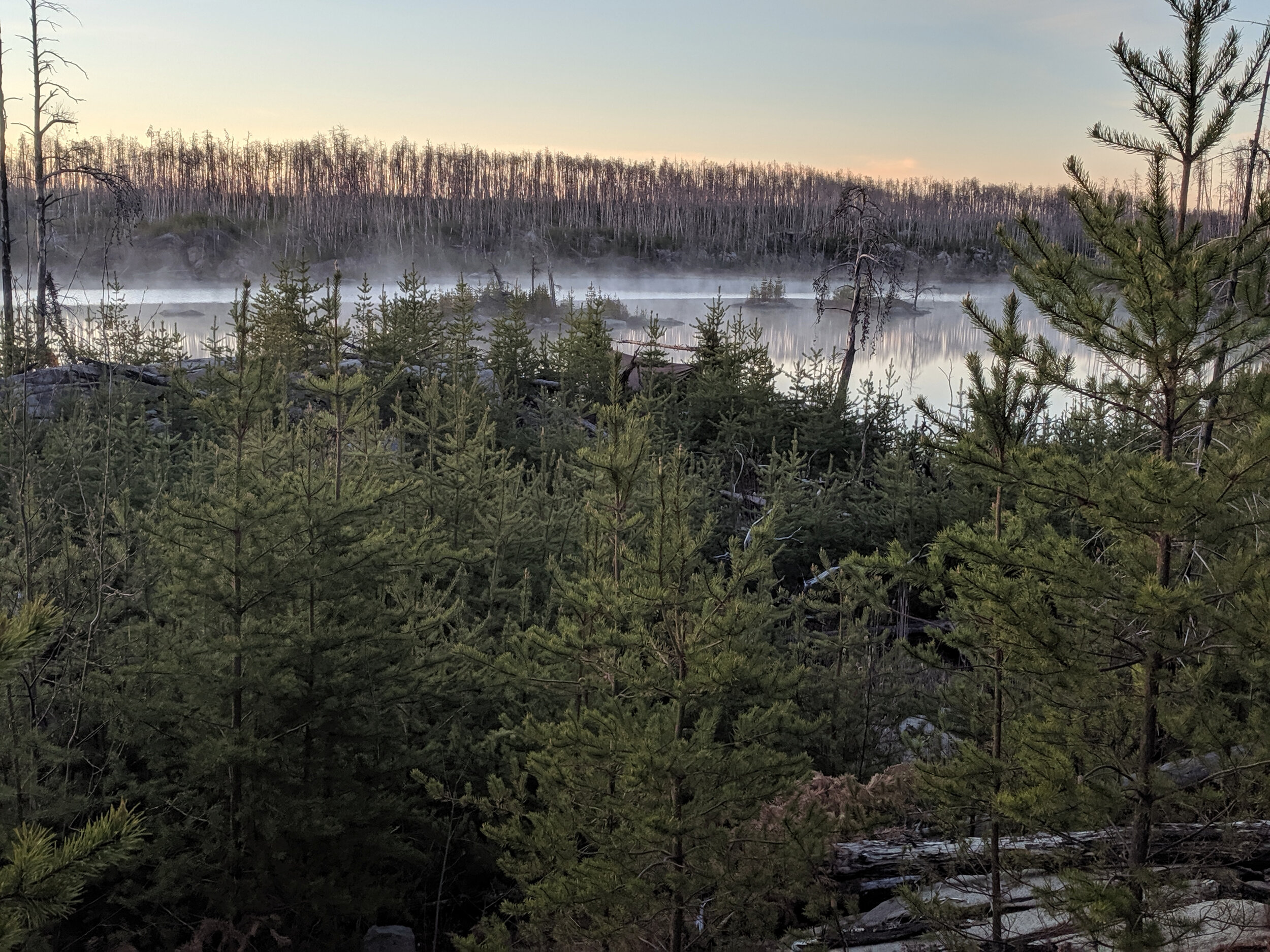
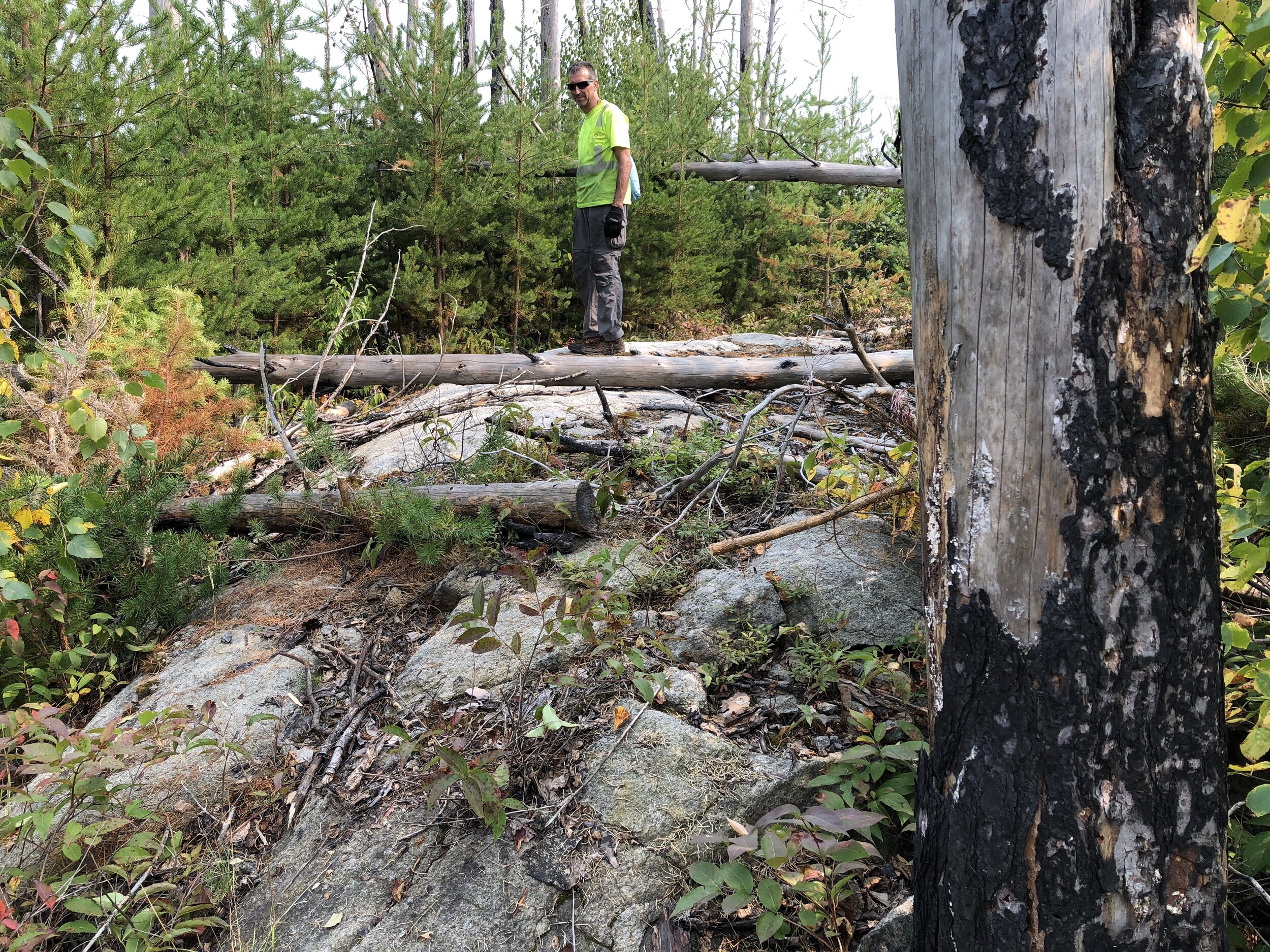
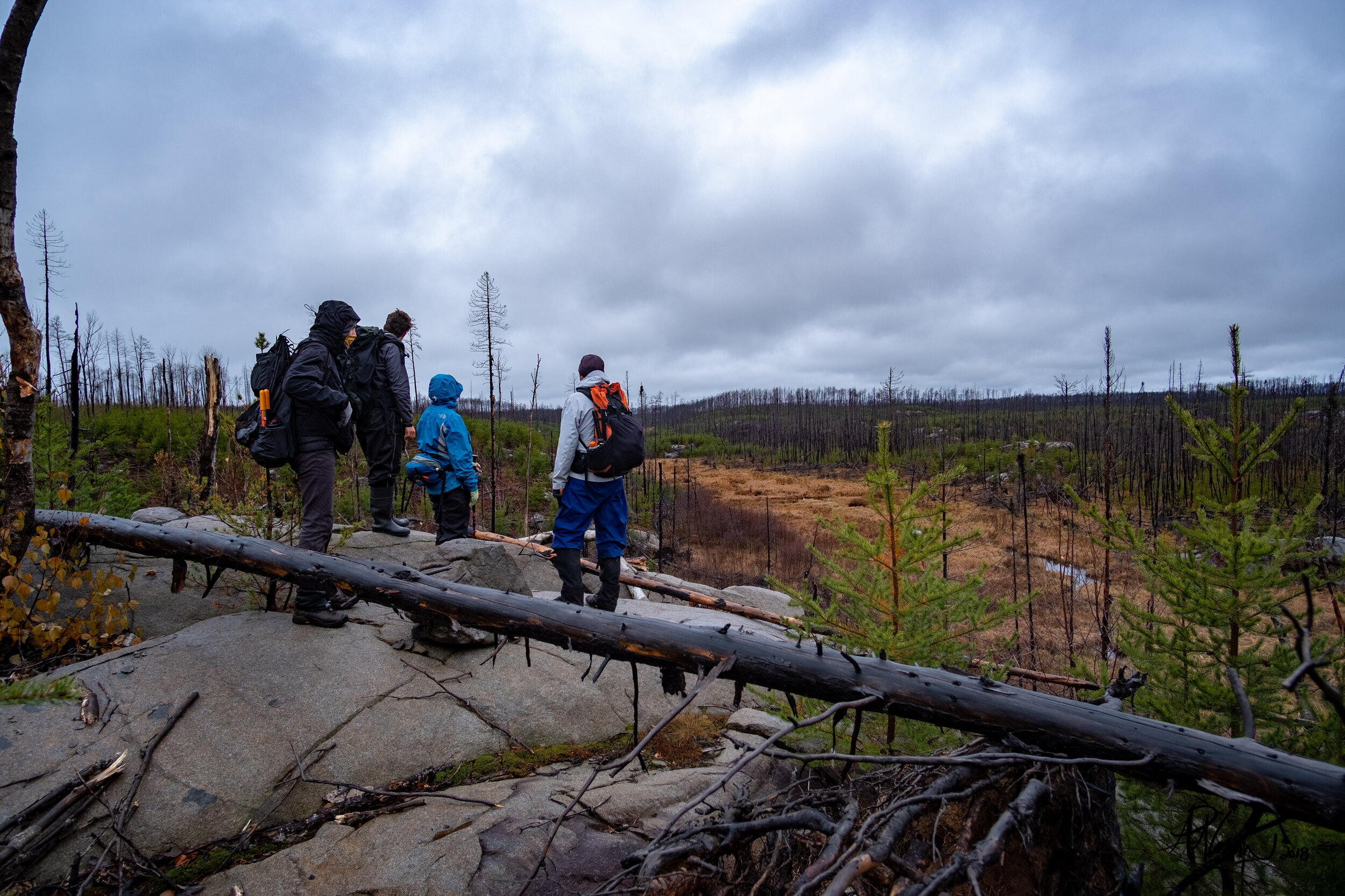
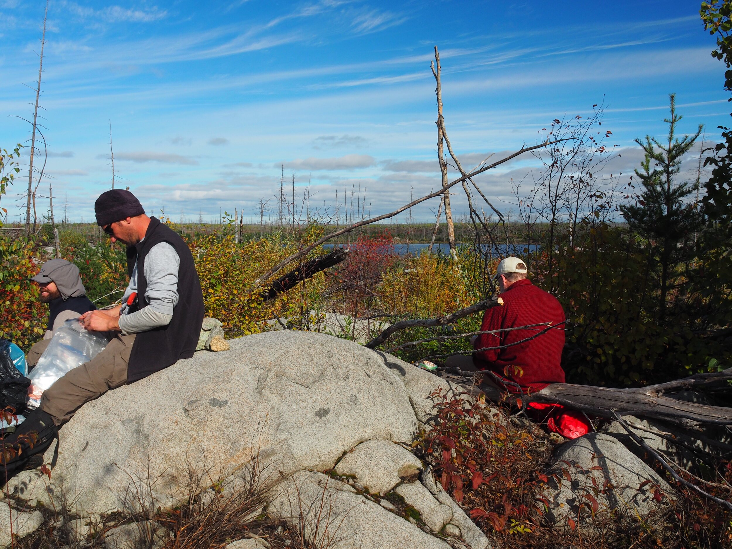
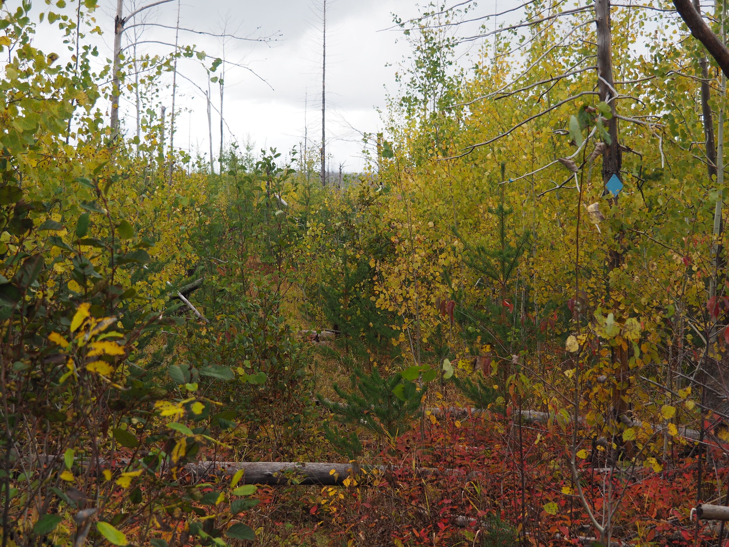
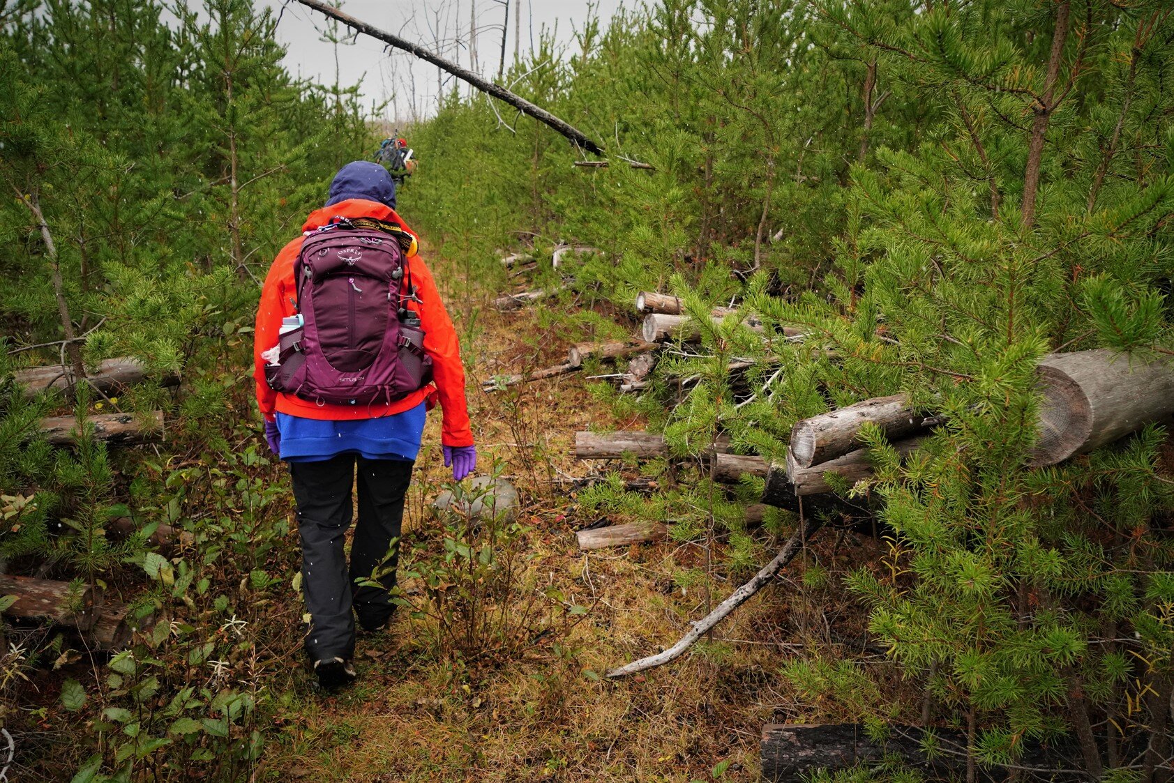
In the fall of 2011, the Pagami Creek wildfire burned 95% of the trail. Since then, Boundary Waters Advisory Committee (BWAC) volunteers, in partnership with the U.S. Forest Service, have worked to recover the original trail, using hand saws and loppers to remove thousands of fallen trees, young jack pines, suckering shrubs, and brush.
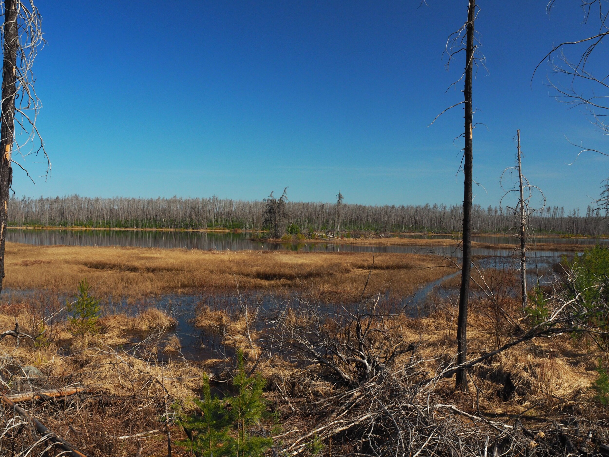
2011 Pagami Creek Fire - Shore of Lake 3
As a result of the fire in 2011, conditions on the Powwow are dynamic and can be challenging. For current trail conditions and additional information, see Powwow Trail Conditions and the U.S. Forest Service website.
Location
The Powwow Trailhead, BWCAW entry point #86, is about 250 miles north of the Twin Cities.
The trailhead is to the right of the wooden kiosk in the northwest corner of the lot.
Permits and Regulations
An entry permit for Entry Point #86 (Isabella Lake) is required to hike the Powwow Trail.
Hikers are required to follow leave no trace guidelines including:
Plan Ahead & Prepare
Know BWCAW rules and regulations.
Prepare for extreme weather.
Use a map and compass.
Reduce litter from the source — repackage food into reusable plastic bags or containers and remove excess packaging.
Minimize Campfire Impacts
Use a lightweight stove for cooking.
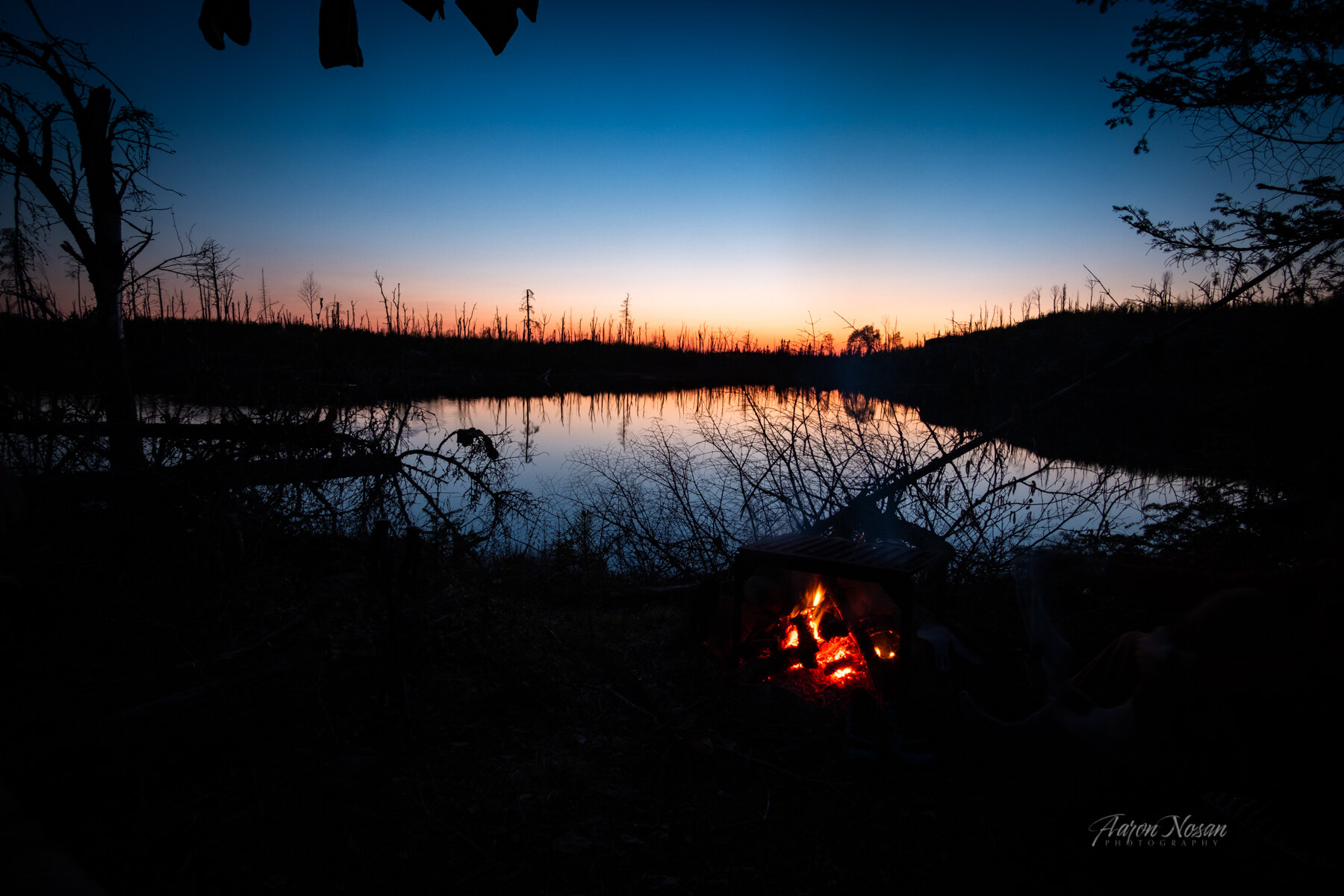
When fires are permitted, use an established fire grate. Keep fires small.
Burn all wood and coals to ash, and make sure the fire is completely out.
Travel and camp on established trails and campsites, rock, gravel, dry grasses, or snow.
Durable surfaces include established trails and campsites, rock, gravel, dry grasses or snow.
Keep campsites small; stay in an area where vegetation is absent. Don’t enlarge campsites.
Walk in single file in the middle of the trail even when the trail is muddy.
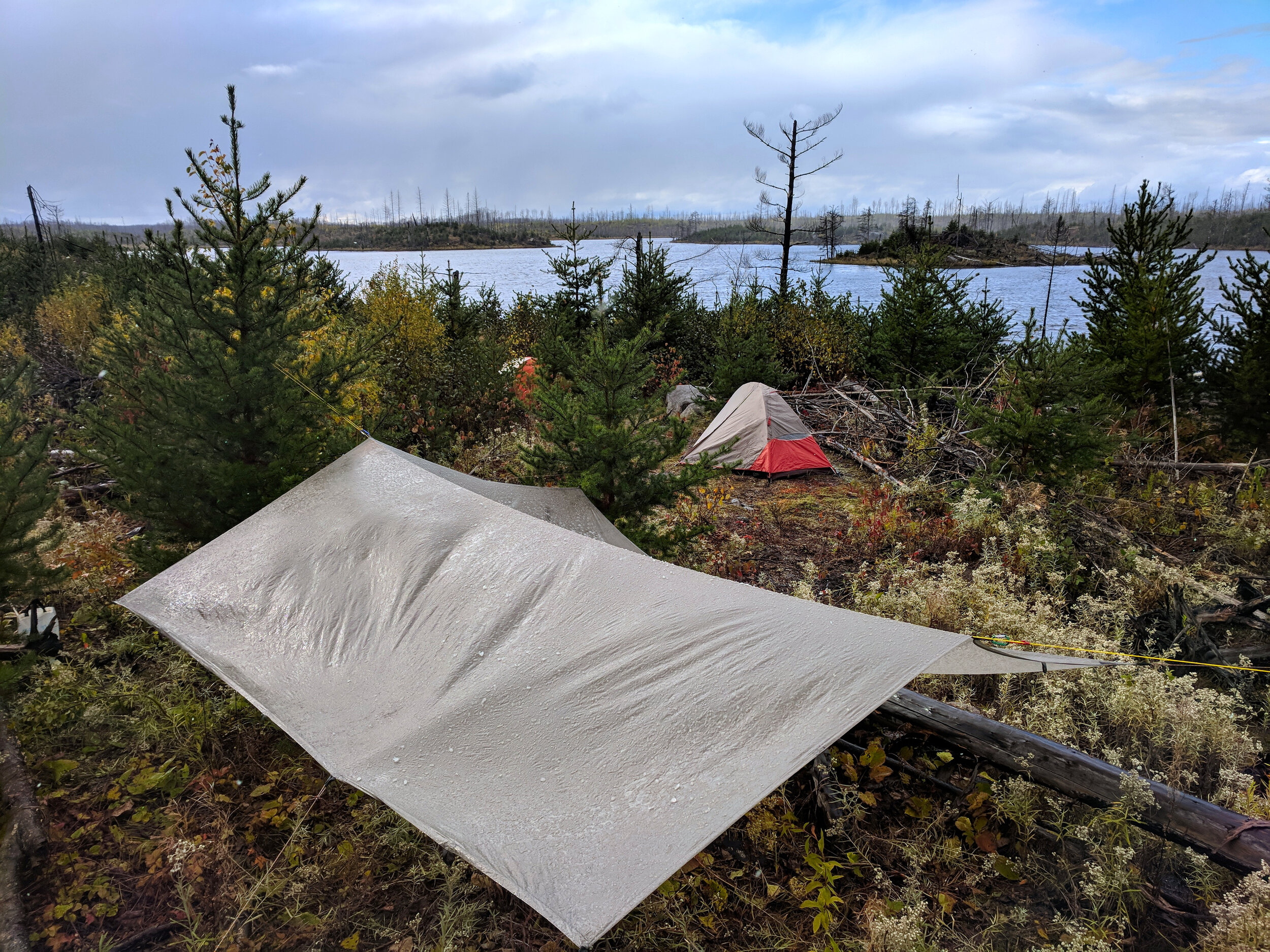
Hammocks are not advised on the Powwow Trail. Trees are not sufficiently mature.
Dispose of Waste Properly
Pack out all trash, leftover food, and litter. Burning trash in fire grates pollutes and is illegal.
Deposit human or dog waste in latrines or bury 6” deep at least 200’ from water and camp.
Wash yourself and dishes at least 200’ from streams, lakes, and camp.
Respect Wildlife
Do not follow or approach wildlife. Never feed animals. Store rations properly.
Food Storage
The USFS requires storing food in a manner to deter wildlife in all BWCAW sites
Forest-wide occupancy and use on the Superior National Forest
Visitors should read the USDA publication, Boundary Waters Canoe Area Wilderness Trip Planning Guide for more information regarding BWCAW rules and regulations.
The Trail
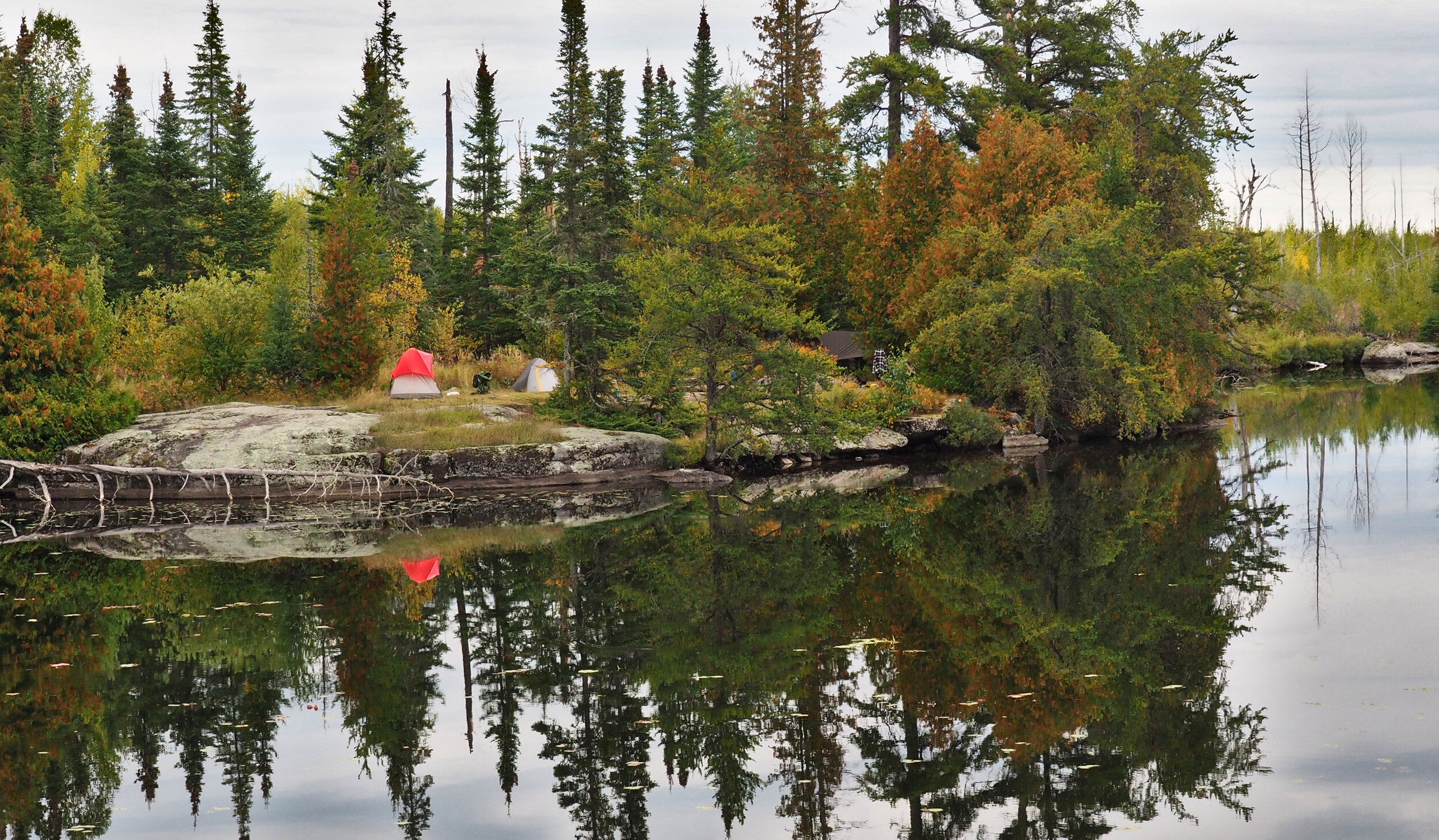
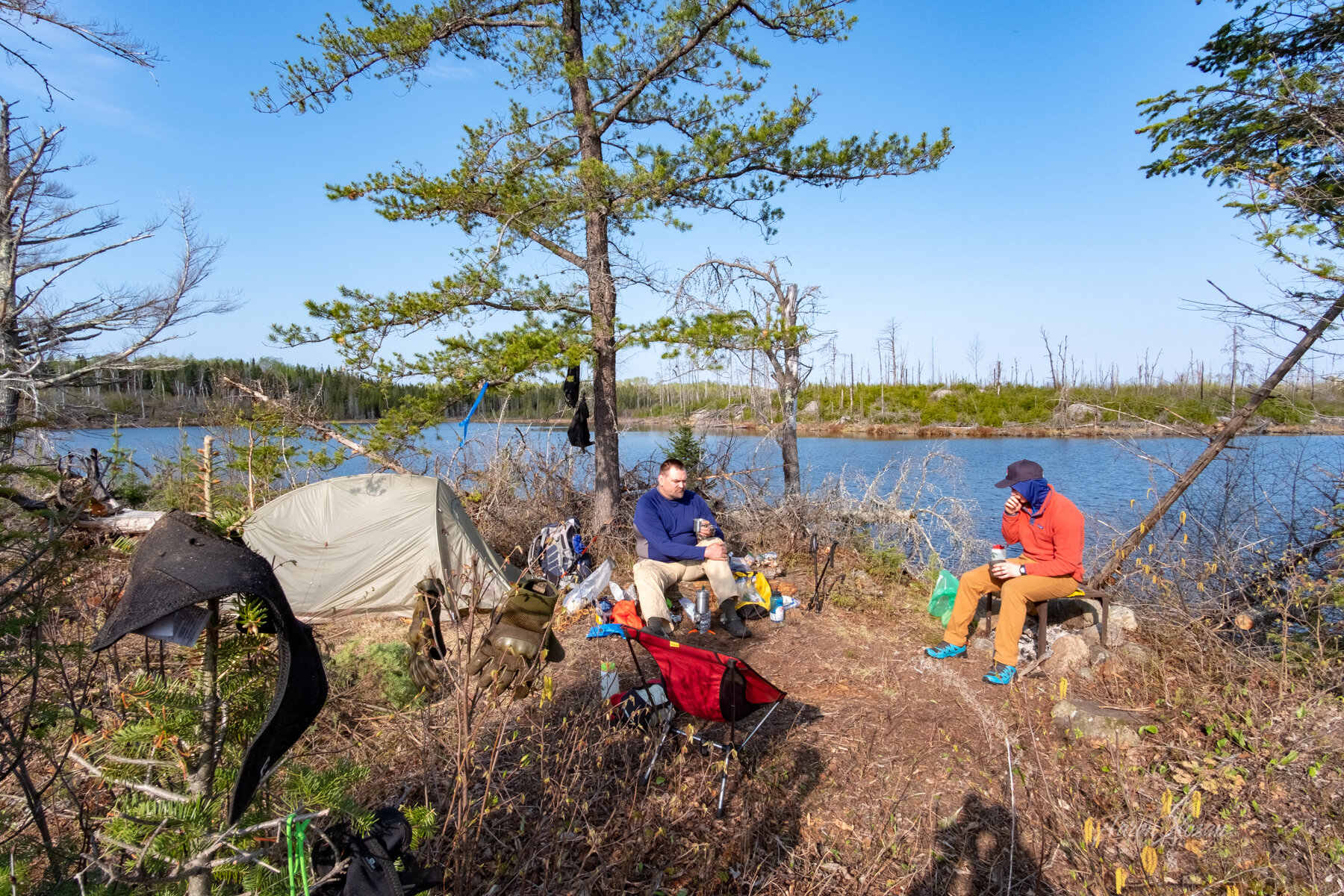
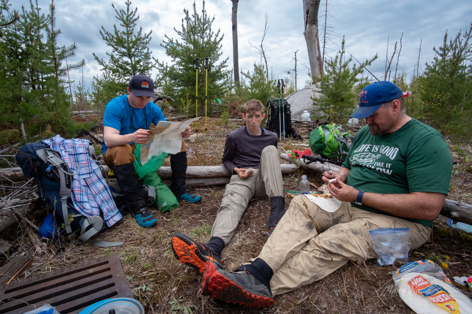
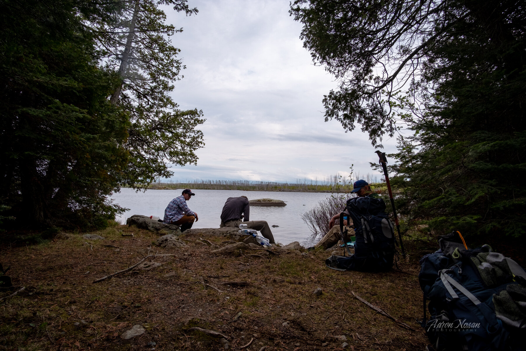
Camping is allowed at ten designated campsites along the trail: Isabella River canoe site, Campfire Lake, Quadga Lake canoe site, Path Lake, Rock of Ages Lake, Lake Three canoe site, Horseshoe Lake canoe site, North Wilder Lake, South Wilder Lake and Pose Lake. Three prefire campsites are closed due to hazard trees and no latrine: Marathon Lake, Superstition Lake, and Mirror Lake. Closed sites are indicated on the guide map with a fire grate symbol.
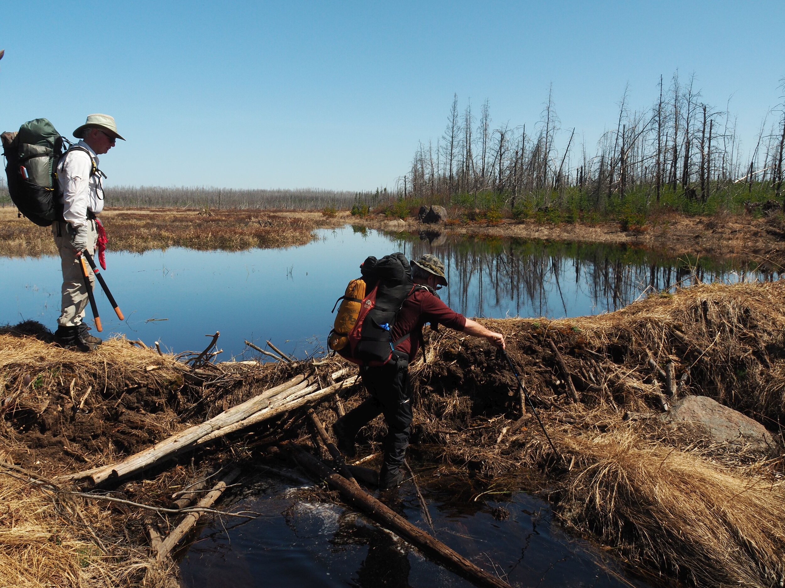
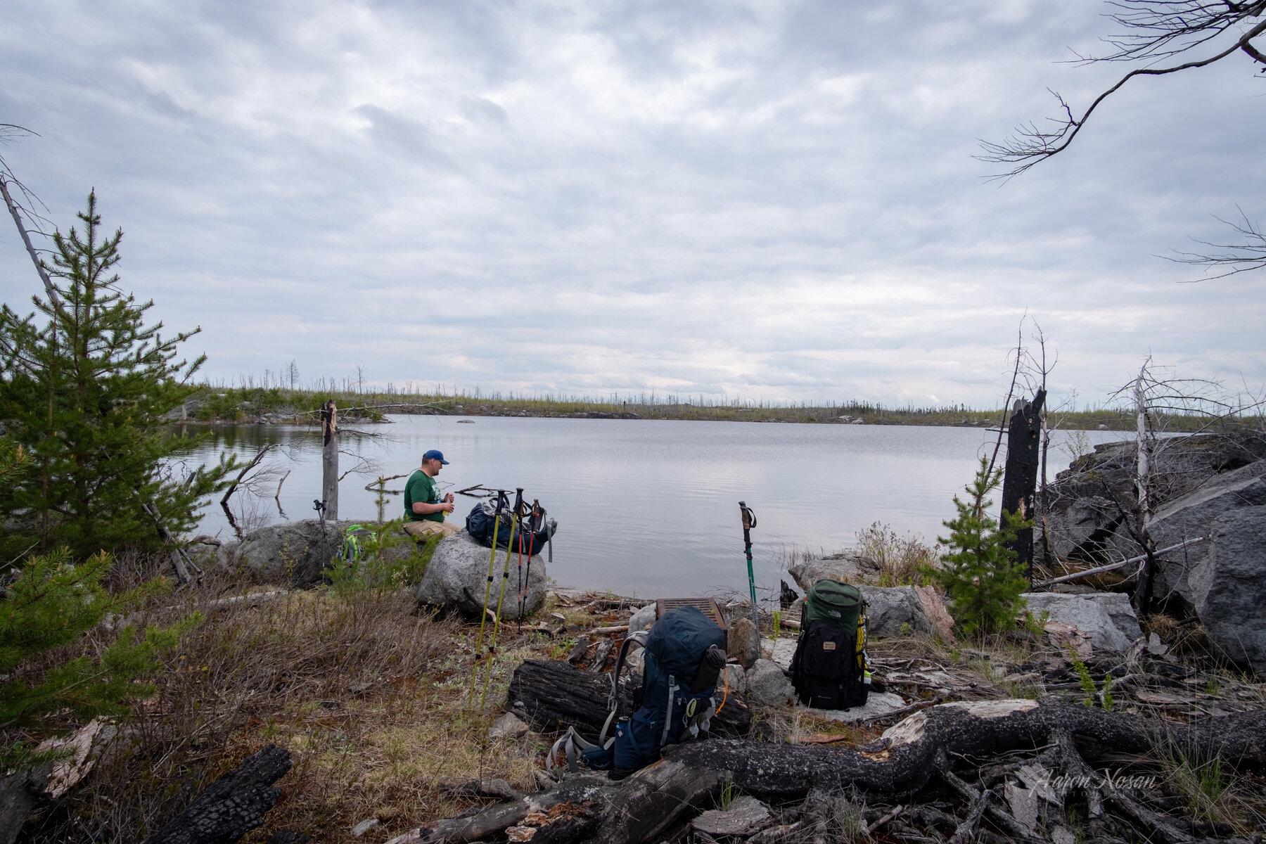
BWCAW regulations allow camping at other than a designated campsite if staying at least 200’ from any trail, portage, lake, or other water source. Because of the large number of fallen trees and debris in the recovering forest, camping 200’ from the Powwow trail is largely unsafe at this time. This guide identifies dispersed camping areas. Both reliable (lake or river access) and not reliable (seasonal streams) water sources are noted. Distances on the map and in the text are approximate.
Powwow Trailhead to the Wye - 2.7 miles
- Trailhead to Isabella River bridge - 1 mile
- Isabella River bridge to wye - 1.7 miles
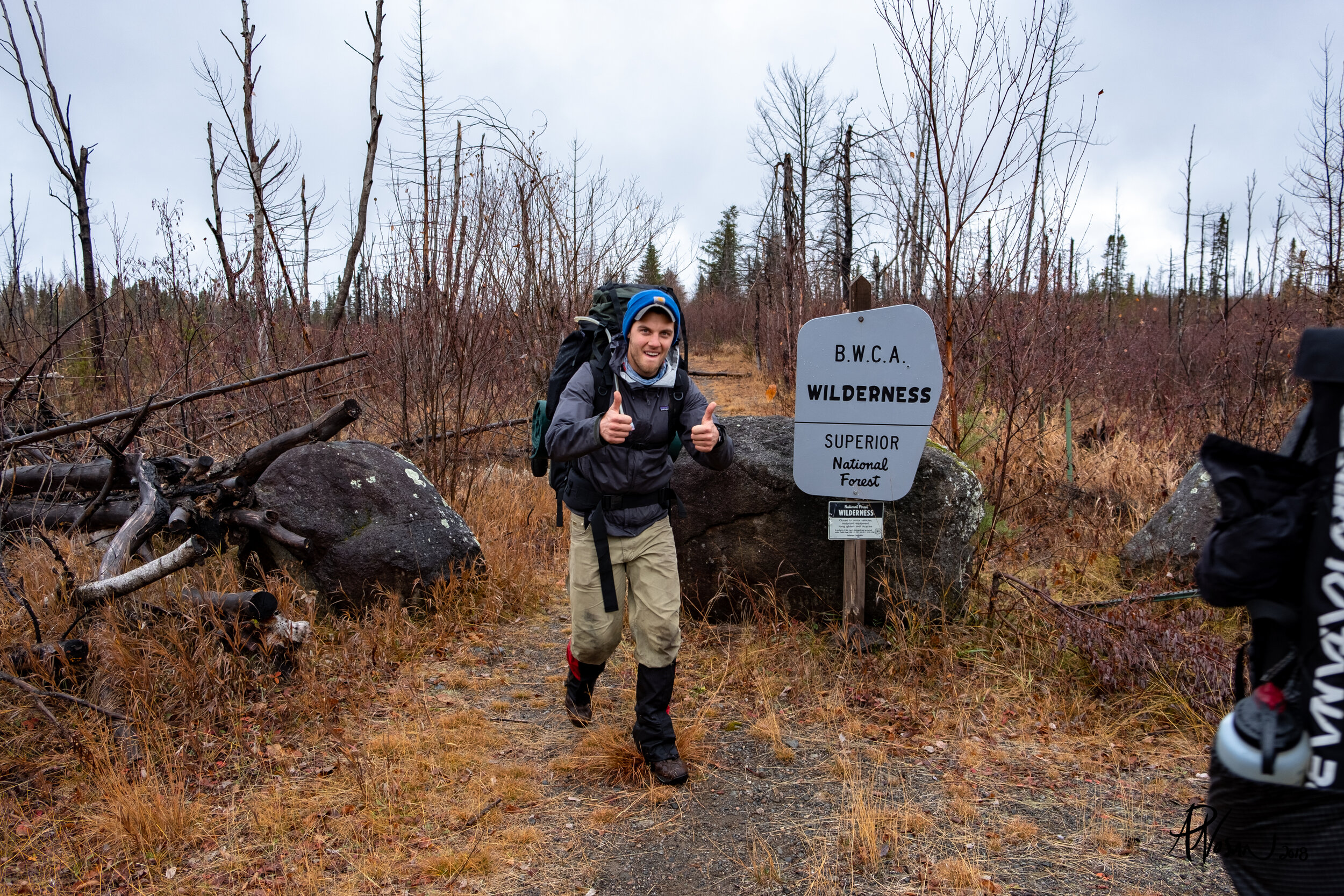
The trail begins in the northwest corner of the Isabella Lake parking lot, just to the right of the information kiosk. After the first flat 0.5 mi walk, a USFS sign marks the entrance to the BWCAW.
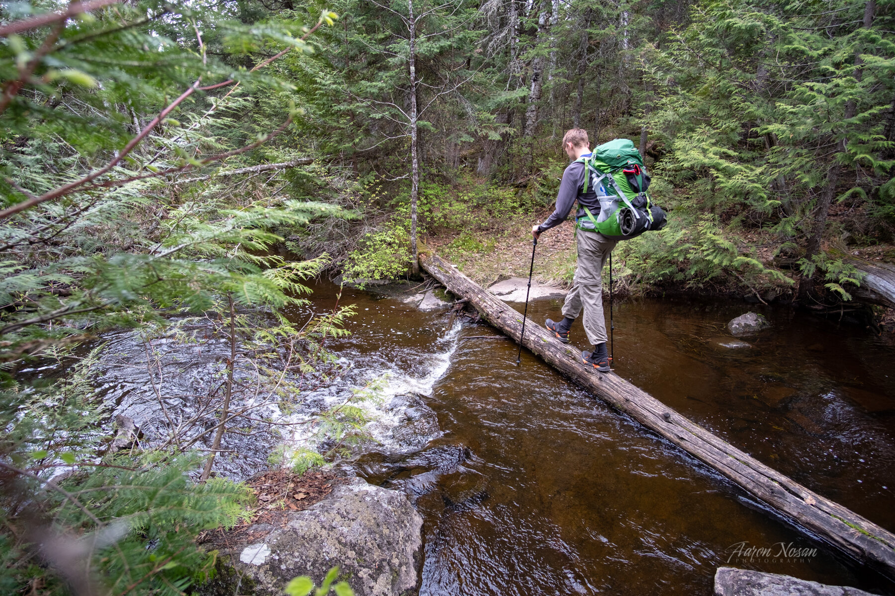
Another 0.5 mi further is the Isabella River, a reliable water source and a campsite with space for 6+ tents. The site is used by canoeists and backpackers and may be occupied during peak season. A rare BWCAW wooden bridge crosses the main Isabella River channel, with log balancing or rock hopping required to cross a secondary seasonal channel. Continuing north from the Isabella River, you will be walking on what was once a gravel logging road.
A clearing and Powwow Trail sign at 2.7 mi marks the “wye” junction with the loop portion of the trail. North from the wye takes the hiker counterclockwise around the trail; a left or western turn takes the hiker clockwise. This guide takes you in a clockwise direction, west from the wye.
Wye to Diana Lake Bridge - 3.9 miles
- Wye to Fallen Arch Lake - 0.9 miles
- Fallen Arch Lake to Flapper Creek - 0.6 miles
- Flapper Creek to Marathon Lake - 1.1 miles
- Marathon Lake to Diana Lake Bridge - 1.3 miles
West of the wye, the hilly trail follows mostly straight logging roads. A few minutes hike west of the wye is the Pelt Creek beaver dam crossing.
About 0.75 mi further, hikers will encounter the Fallen Arch Lake beaver dam, crossing Fallen Arch Creek. Another 0.7 mi west is a dispersed camping location at Flapper Creek, with flat tent areas on both sides of the small creek. Flapper Creek is a seasonal drainage and should not be counted on as reliable water source.
A pre-fire closed backpacking site at Marathon Lake has a rock ring, but no actual fire grate, and no latrine A spur trail leads to a dispersed camping area towards the lakeshore. Marathon Lake has a marshy shore but is a reliable water source.
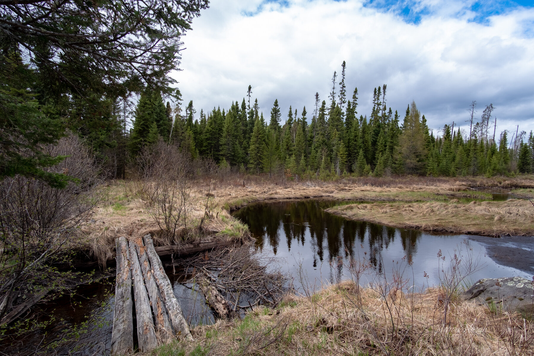
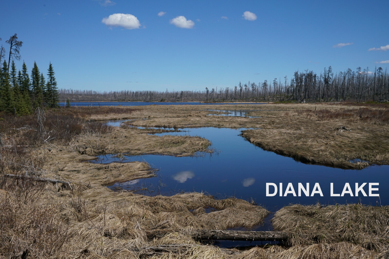
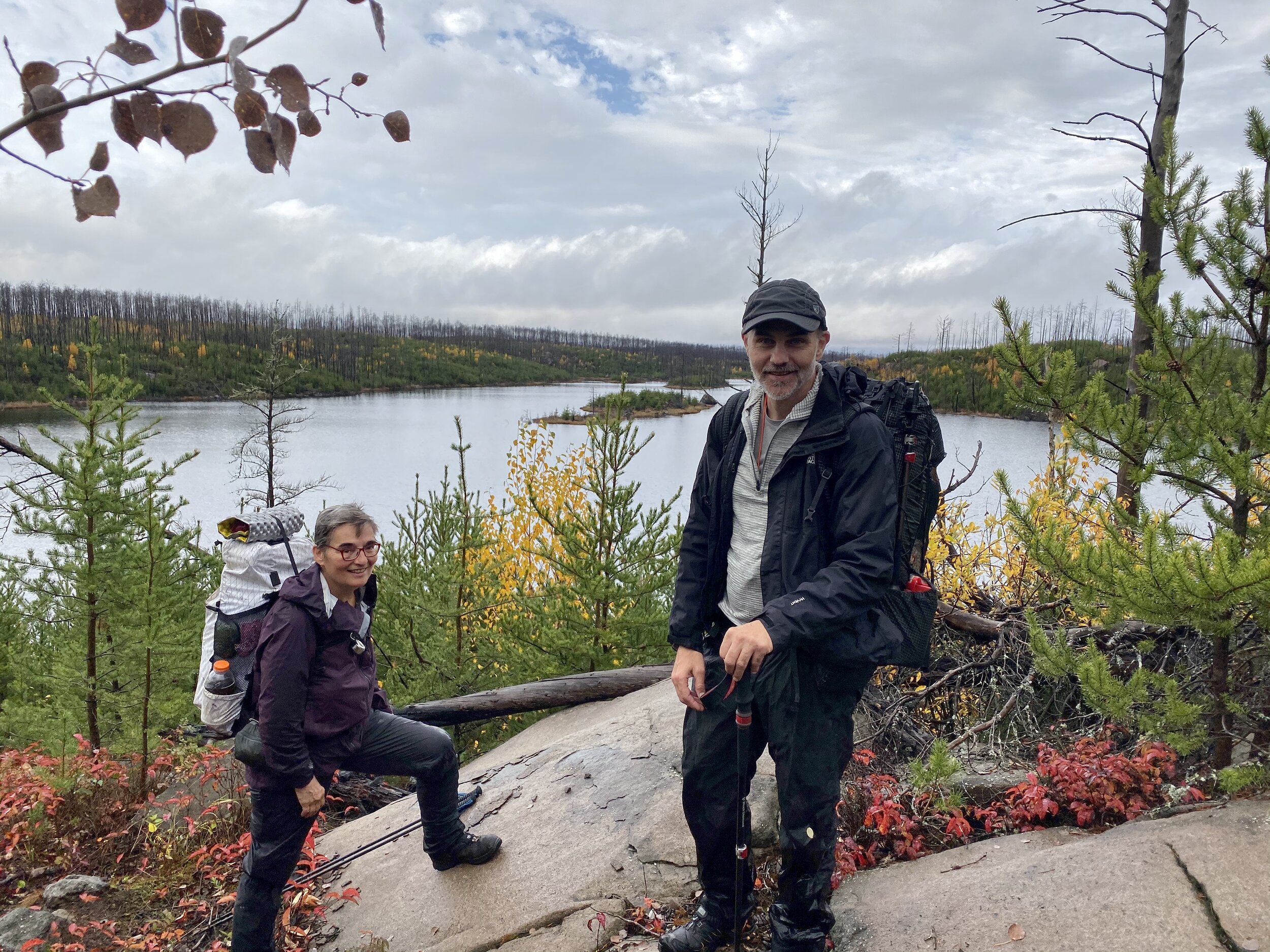
The Diana Lake vicinity is an unburned “green zone” with a newly-laid (Nov. 2020, pictured above) tamarack log bridge crossing the lake outlet. Multiple tents can be pitched in the spacious green zone 100 yards west of the bridge. Reliable water can be gathered below the Diana creek bridge.
Diana Lake Bridge to Quadga Spur - 2.5 miles
- Diana Lake bridge to Campfire Lake Campsite - 2.3 miles
- Campfire Lake to Quadga Lake spur - 0.2 miles
Before heading west from the Diana green zone, it’s a good idea to fill up on water from below the Diana Creek bridge. A large beaver pond has been formed 0.25 miles west of the Green zone, with season flooding across the trail. After two miles of rolling hills, the trail becomes marshy, with sections underwater depending on the season. Ten yards off the trail to the right, is the Campfire Lake campsite with a tall firegrate and 5+ tent pads. A spur trail leads through the site to the marshy, but scenic lakeshore. A new latrine was installed in 2023 directly across the trail up a 50 yard spur. The next water source will be either 0.5 mi to Quadga Lake, or 0.80 mi from Campfire to the Myth/Exploit beaver dam and stream crossing.
One quarter mi from the Campfire Campsite is the start of the 0.25 mi spur to the green zone Quadga canoe campsite, with lakeside water and plenty of tent pads. The site may be occupied by canoeists.
Quadga Lake Spur to Mirror Lake firegrate - 3.4 miles
- Quadga Lake spur to Superstition Lake firegrate - 2.0 miles
- Superstition Lake firegrate to Mirror Lake firegrate- 1.4 miles
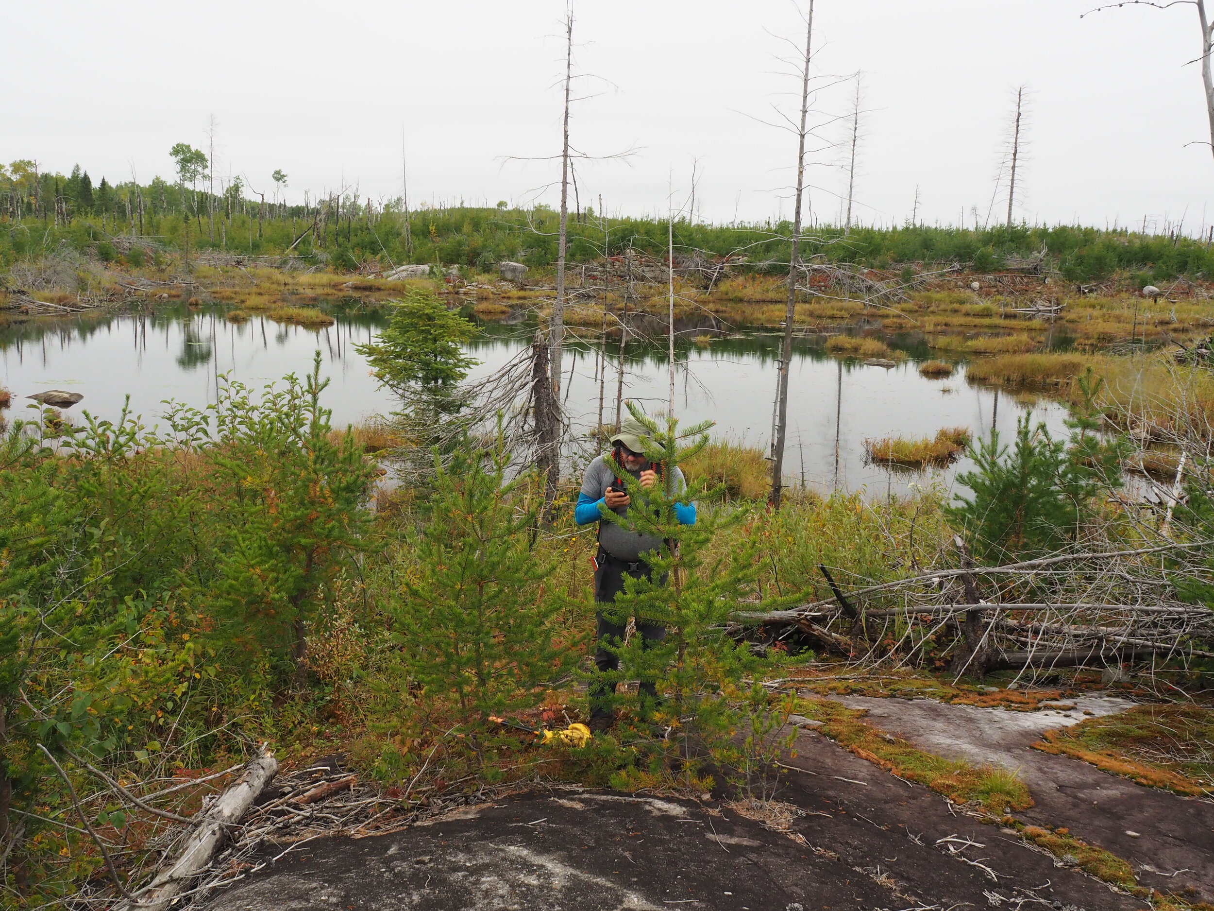
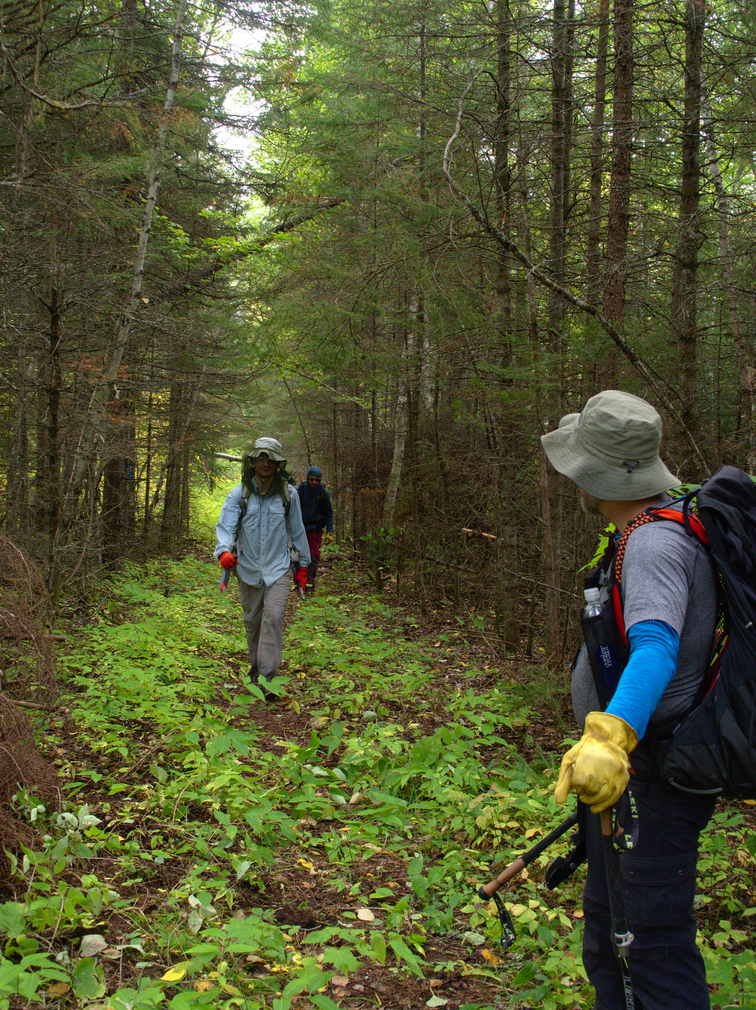
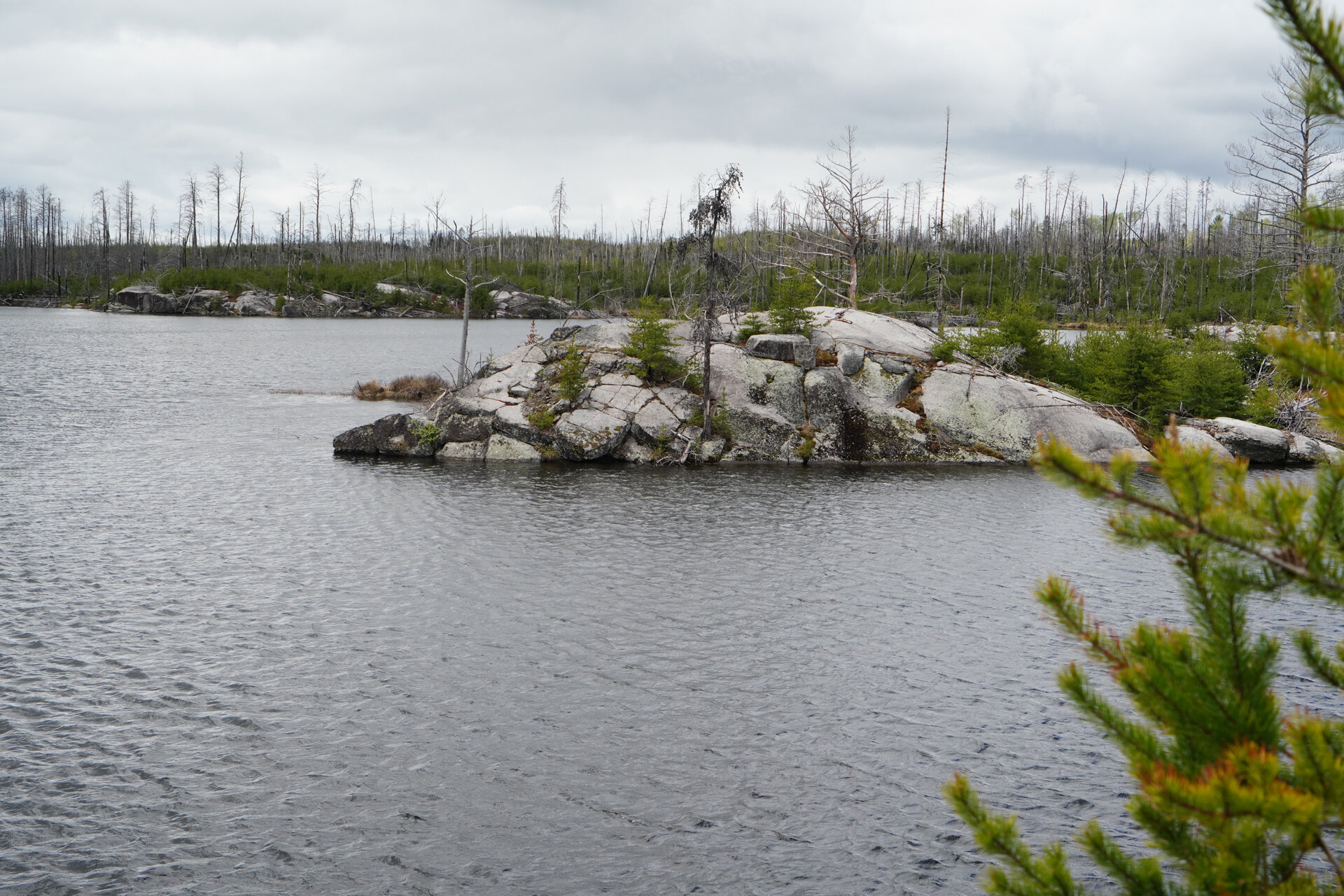
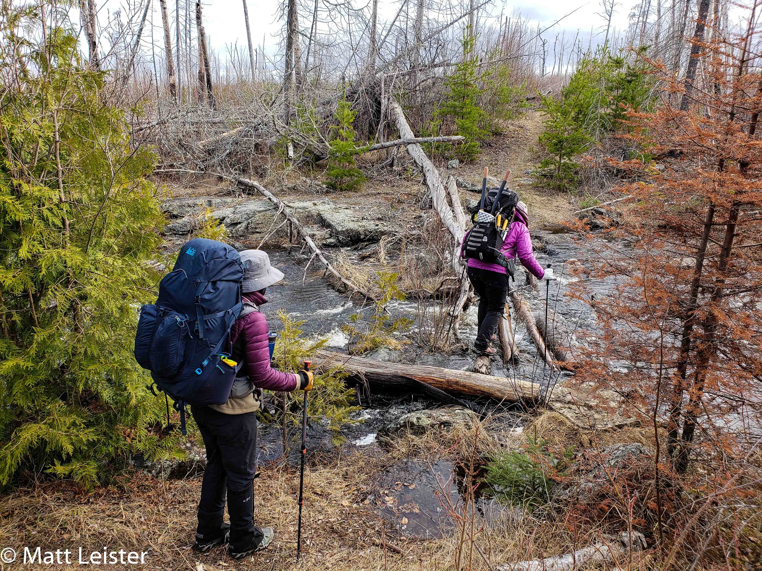
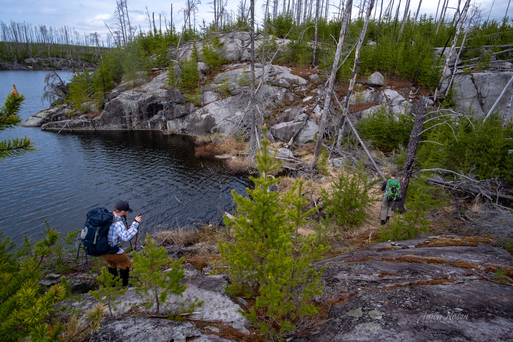
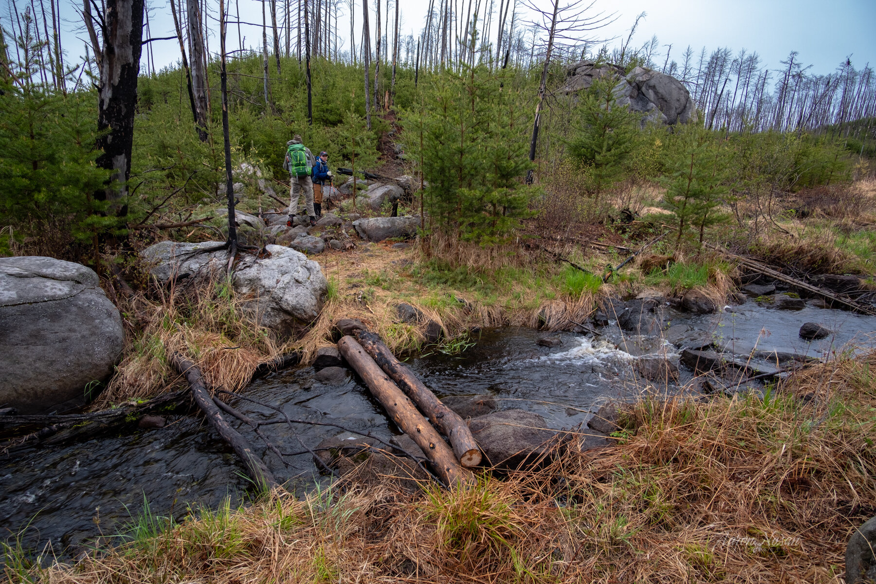
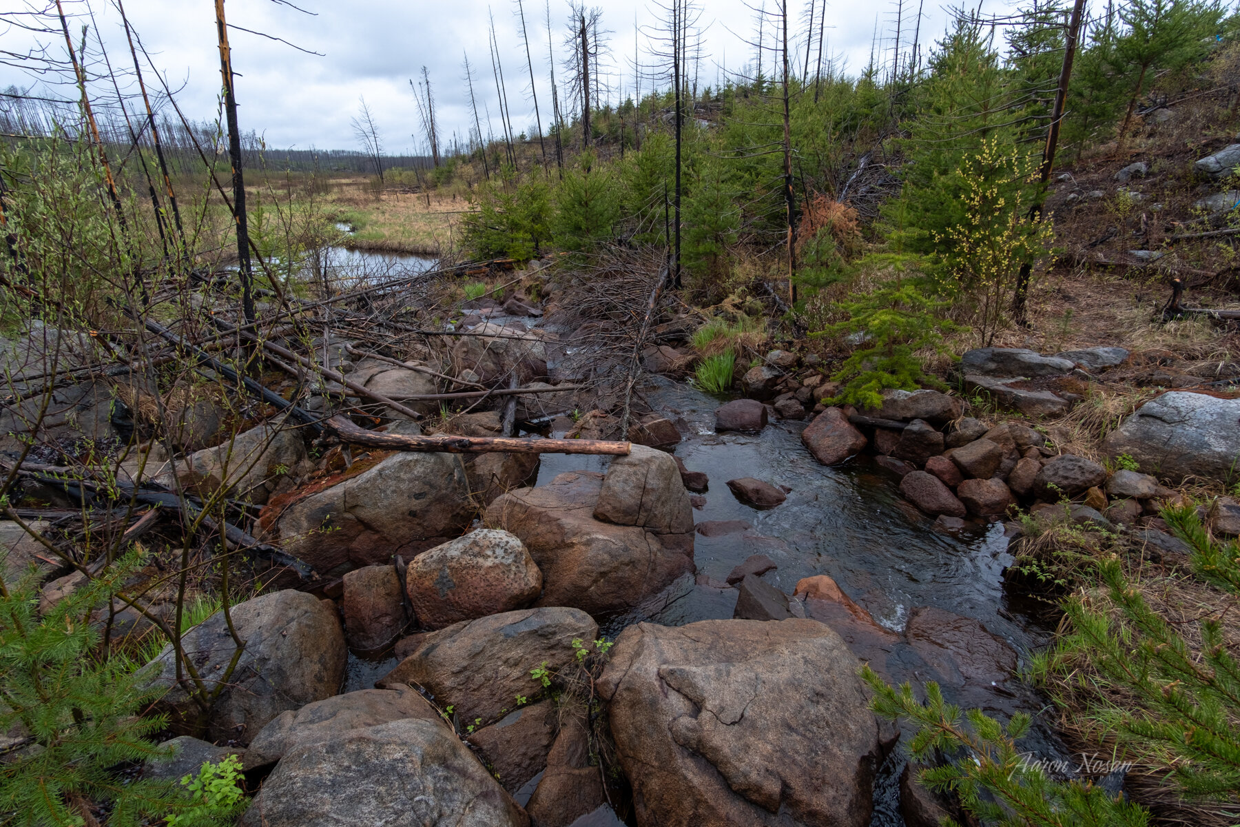
Hikers can expect to be picking their way through grassy bogs and on top of beaver dams in the area approaching and just west of the Myth and Exploit Lakes water crossing. After the beaver engineering, the trail enters an unburned zone where mature conifers shade the trail for about 0.75 mi as hikers round the bend north toward Superstition Lake.
The trail leaves the green zone, then follows the southern and eastern shore of Superstition Lake. After climbing a small hill, look for the 80’ spur sloping down to the fire grate, sited on a peninsula with conifers. Two or three small tent pads are close to the fire grate, situated about 20’ from the lake and water access. Look for a rare post-fire white pine growing beside the lake.
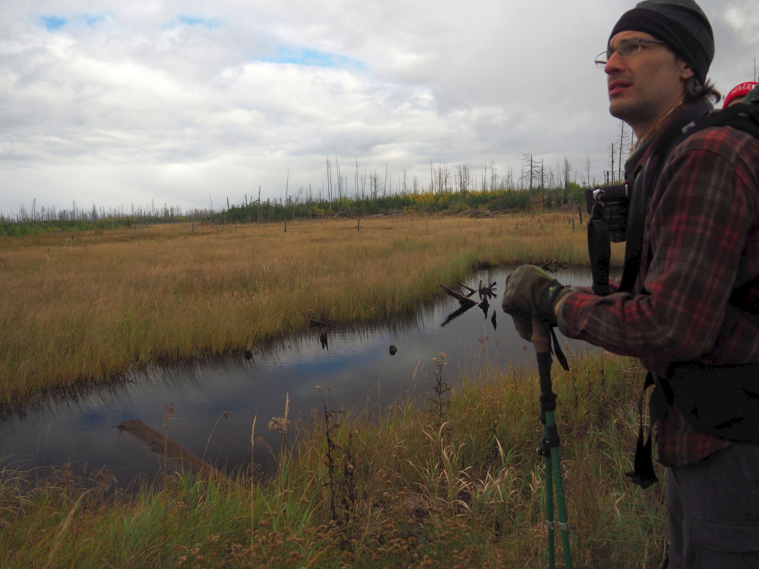
About halfway between Superstition and Mirror is a rock ledge with seasonal water drainage. When flowing, the gurgling stream makes a refreshing spot to refill water, rest, and enjoy the vista.
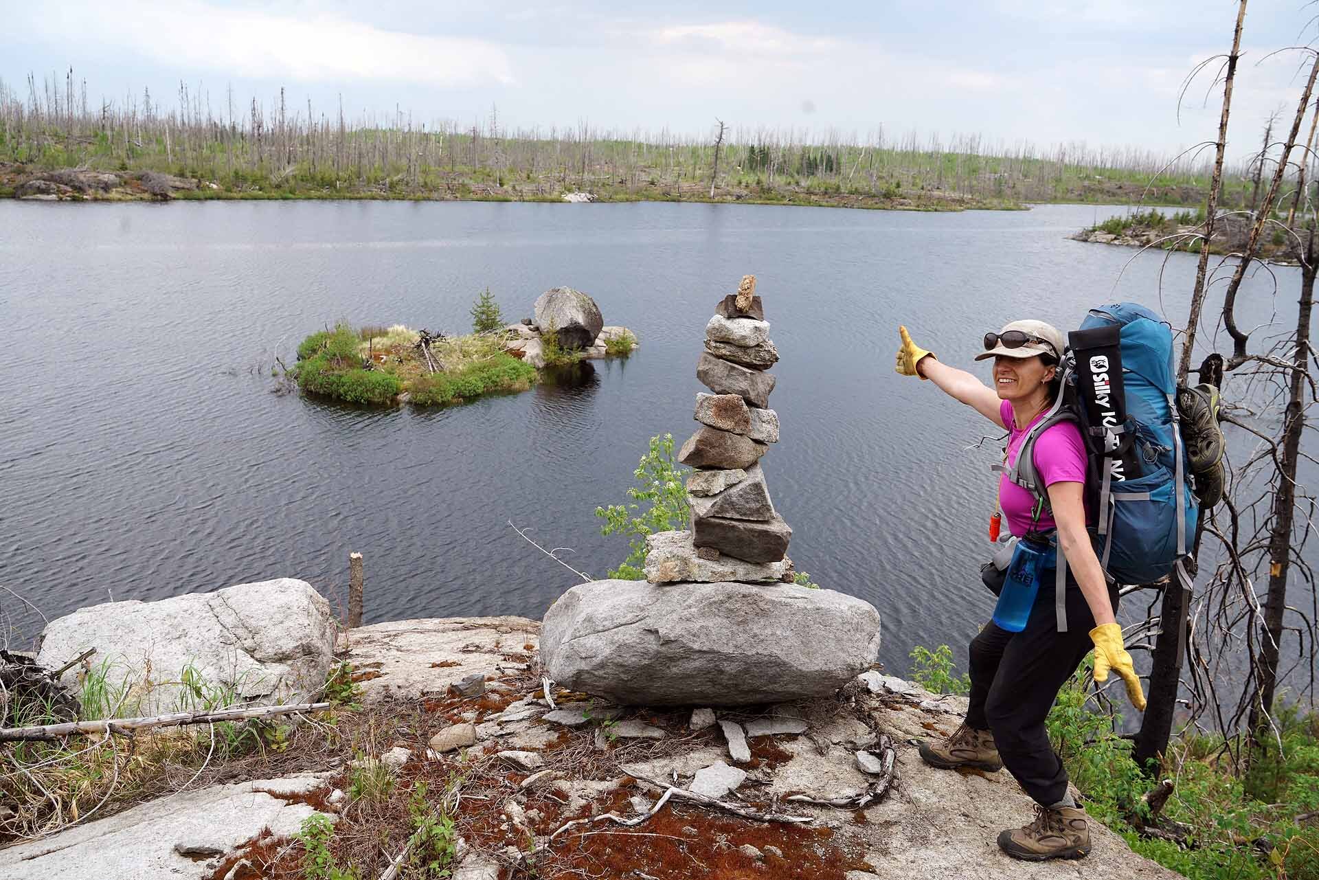
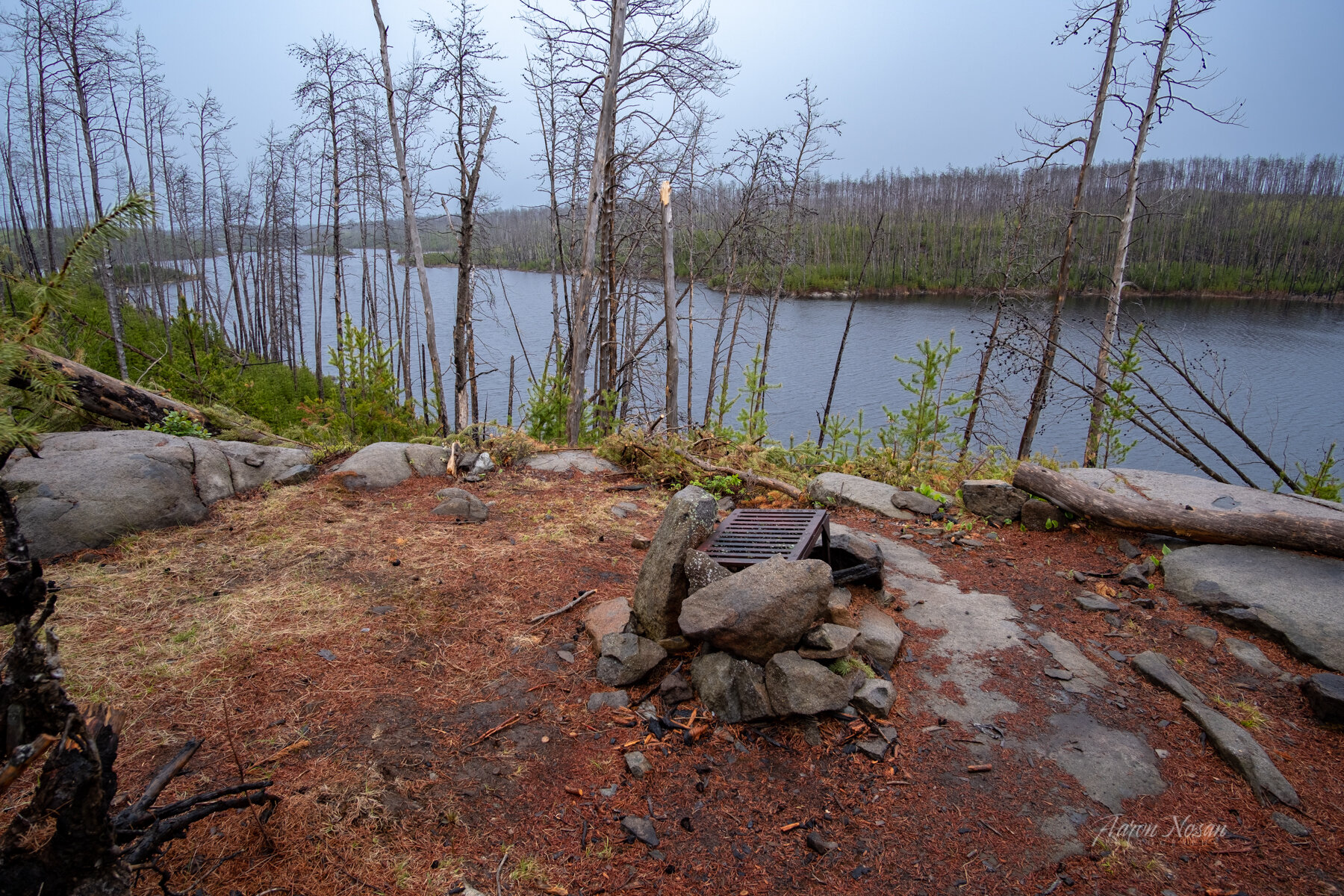
As you hike north from the rock ledge, keep a lookout for cut logs, multi-stemmed brush and occasional cairns to stay on the trail. Mirror Lake will come into view on the right/east side. The trail passes through the Mirror Lake fire grate clearing, across from a small island. Water access involves scrambling down a steep, switchback rockface north of the fire grate. There are plenty of flat spots and room for 6+ tents.
Mirror Lake firegrate to Lake Three/Horseshoe Lake portage - 3.8 miles
- Mirror Lake firegrate to Path Lake campsite - 1.6 miles
- Path Lake campsite to Rock of Ages Lake campsite - 0.5 miles
- Rock of Ages Lake campsite to Lake Three to Horseshoe Lake portage - 1.7 miles
The trail here is rugged as it crosses over bedrock outcrops and open forest. It briefly follows Mirror Lake north from the fire grate, then makes a left/west turn away from the lake, descends and routes to the left around and above a large swamp (see map below). The trail follows above the shoreline of Mirror until the lake narrows; check your map. At the narrowing, the trail is close enough to the lake for water access. There is a short rise from the lake, then a turn straight west again for about 0.1 mi before the trail heads north once more.
The high trail between Mirror and Path is lovely. There is water access at the far south end of Path Lake and at the flat rock shore in front of the Path Lake campsite fire grate. When you see a magnificent standing white pine skeleton to your right, watch for the “T” in the trail where the right turn brings you to the shoreline and fire grate, or make a left turn to continue on the trail to Rock of Ages. A latrine is 20 yards away from the firegrate.
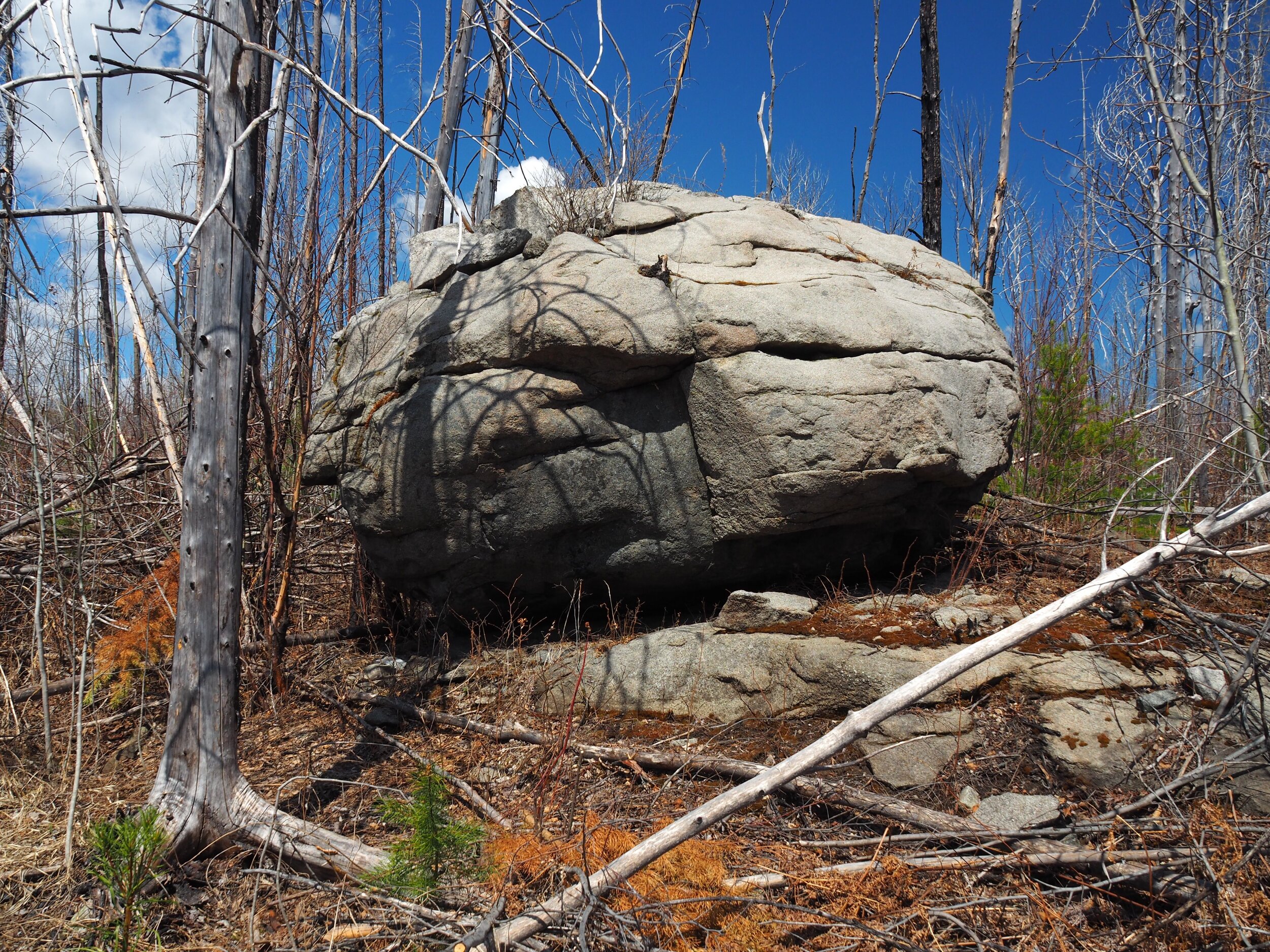
Hiking from Path Lake to Rock of Ages Lake is another scenic treat, with rocky climbs and descents. Carefully follow the rock cairns where the trail crosses a grassy field. About 0.5 mi north of Path Lake, watch for a sentinel trimmed jack pine and a chest-high crumbling gray boulder on your left alerting hikers to the short spur trail down to the Rock of Ages rock slab lakeshore. When you find the lakeshore, you have found the campsite; turn away from the lake and climb two levels of rock ledge to locate the fire grate.
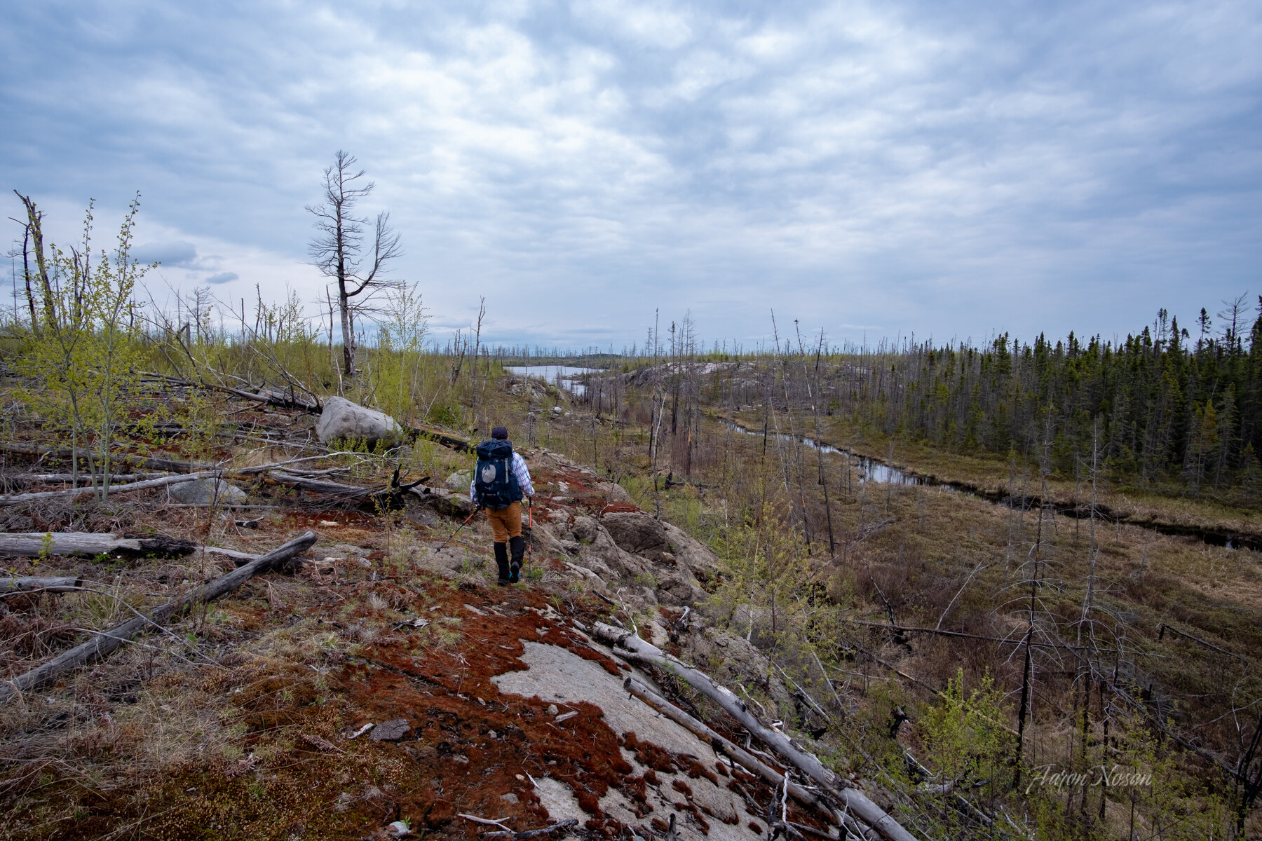
The scenic trail from Rock of Ages to Lake Three has a bedrock stretch just north of Rock of Ages with long views to the east of a massive rock wall. In the coming few years jack pine growth will block the vista. This segment crosses several seasonal streams.
Approaching Lake Three, there is another green zone. A couple hundred yards in, there is a significant stream that can be waded through or crossed by means of two huge fallen cedars. Shortly ahead on your left is the unmarked spur trail to the popular Lake Three designated canoe campsite. It’s in the green zone, with the fire grate located on a peninsula and many flat tent sites.
Continue on the trail another 0.2 mi until reaching the end of this section at the canoe portage between Lake Three and Horseshoe Lake.
Lake Three/Horseshoe portage to Wilder Creek - 3.9 miles
- Lake Three/Horseshoe portage to North Wilder Campsite - 2.9 miles
- North Wilder Campsite to Wilder Creek - 1.0 miles
The worn portage between Lake Three and Horseshoe Lake creates a highway across the Powwow Trail, making it easy to know where you are on the map. Water is available at the portage and along the trail following the northern Horseshoe shoreline. The trail dips after 0.4 mi to negotiate a 20’ section of swamp before climbing high above the lake. Panoramic views and an 8’ tall boulder overlooking the lake greet hikers. For camping at the Horseshoe Lake canoe campsite, locate the 0.1 mi spur traveling south from the boulder running directly to the lakeside site. If continuing your loop, the trail turns sharply left/northeast at the boulder, away from Horseshoe Lake. East toward North Wilder Lake, sparse jack pines and higher elevation provide distant views of Lake Four to the north and Horseshoe to the south. Look carefully in open areas for rock cairns, multistemmed brush, and cut fallen trees defining the trail, and scout ahead for the next cut to make sure you stay on the trail.
North Wilder Lake comes into view 2.0 mi from the Lake Three/Horseshoe Lake portage. Bouldering down a rock face is required to reach the lake, where the trail is carpeted in a thick layer of jack pine needles. Thousands of fallen trees have been cut in this area, making the trail easy to locate. One-half mi down the lake is a hammerhead-shaped inlet where the trail again goes across bedrock. There is easy lake water access here, and it is a good site to take a break.
The North Wilder campsite may not be marked on current navigation maps. It is 0.9 mi from the north end of the lake, with small rock cairns marking the spur leading to the fire grate. There is good (short, but steep) water access. Flat pads can be found for 4+ tents. The fire grate is scenically located across from a small island on North Wilder Lake. A latrine is located off the entry spur trail.
Leaving the campsite, follow the trail southwest away from the lake until reaching the less distinct portage between North Wilder and Harbor Lake. The trail makes a sharp right, shares the path with the canoe portage for 40’, then leaves the portage with a left turn onto the designated trail. Hikers will now be walking south along the waterway between North Wilder and South Wilder Lakes. The trail is rugged here, with some rock scaling required. The stream between North and South Wilder Lakes, a good water source and easily crossed on rocks, marks the end of this section.
Wilder Creek to Pose Lake spur - 4.0 miles
- Wilder Creek to Pose Creek - 3.1 miles
- Pose Creek crossing to Pose Lake spur - 0.9 miles
From the Wilder Lakes stream crossing, the trail makes a 0.3 mi loop up and over, then toward South Wilder Lake. The trail then forks: the right fork descends to the South Wilder shoreline water source; the left fork climbs another 30’ to reach the newly opened campsite that overlooks the lake. The latrine is located at the back of the tent pads area. The trail continues west directly past the fire grate.
The most rugged and rocky section of the trail follows the South Wilder shoreline on the way to Pose Creek. One-half mi past the east end of South Wilder is the “Football Field” dispersed camping area—a rare flat segment of trail. A seasonal drainage crosses the trail at the east end of the Football Field. Continuing east toward Pose Creek, the trail winds through a dense jack pine corridor, with many steep drops and climbs. An impressive 180 degree overlook of the creek valley is just off a 90 degree corner, 1.0 mi east of the Football Field. The last 0.5 mi to Pose Creek has more steep climbs up and over rock outcrops. “The Cubic Step” uses a squared rock to scale a 25’ cliff.
After one more short wetland crossing, the trail reaches Pose Creek. Uphill from the creek is another dispersed camping area, with vistas and, during wet seasons, the sound of the creek flowing through the valley. Pose Creek has become an unreliable water source due to upstream beaver activity. The winding trail continues east and north until rejoining the old logging road corridor at a 90 degree corner. Pose Lake is now in view to the north. One-half mi further is the cairn-marked 0.3 mi spur trail to the Pose Lake campsite. Look for a Pose Lake sign leaning against the cairn facing east. The latrine is located 6’ off the spur trail on the right side about 50 yards before the fire grate. There are 6+ tent pads.
Pose Lake spur to Wye - 3.0 miles
- Pose Lake spur to Culvert- 1.0 miles
- Culvert to Powwow Sign - 0.7 miles
- Powwow sign to Wye - 1.3 miles
Just past the Pose Lake campsite spur is the turnoff for the discontinued portage to Lake Insula where, in 2001, a hiker lost his way with no gear, food, or water. He survived six snowy days in a makeshift pine shelter awaiting rescue, as told in Cary Griffith’s book Lost in the Wild.
After crossing an ancient 0.25 mi long beaver dam, the trail returns to the old logging road and becomes smoother and straighter. Water can be obtained at the culvert running under the trail 1.0 mi east of the Pose Lake campsite spur.
A small “ <-POWWOW->” sign marks the 90 degree turn to the south, known as the “2nd wye.” The last 4.0 mi, including the already hiked 2.7 mi stem from the wye to the trailhead and parking lot, are a mostly straight, wide corridor.
Legal
This guide is compiled by BWAC volunteers and may contain inaccuracies or omissions. While BWAC strives to provide the best information possible, as a wilderness trail the conditions will vary rapidly. Trail users should supplement this guide with other navigational aids and reports. BWAC volunteers cannot be held responsible for any claim, loss, or damage resulting from the information in this guide.